Old Carroll Gilhouley

Hood River, OR, US

Route Overview

Limberlost

Bike adventures off the beaten path.

59 mi.
7,641 ft.

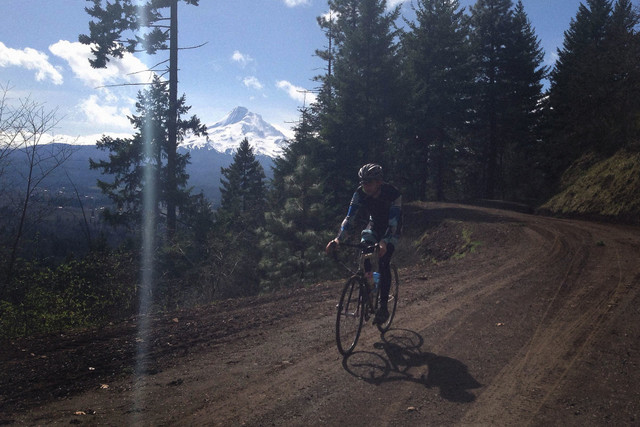
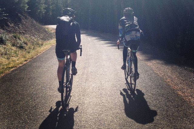
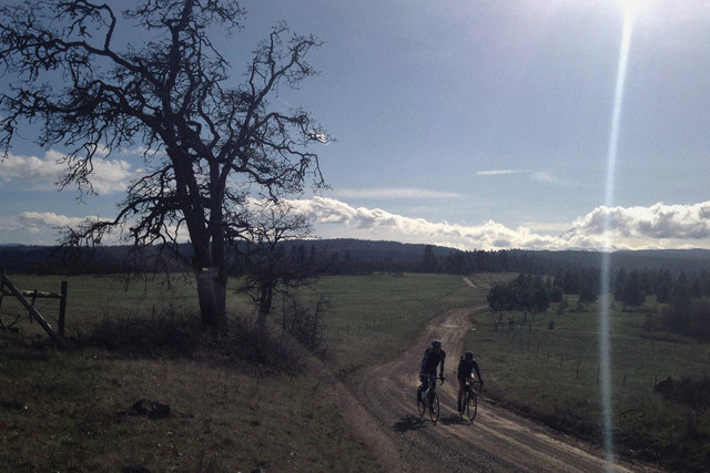
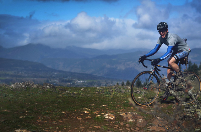
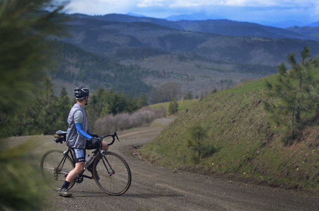
A stiff route through some of Hood River's best riding country. Great views and a mix of roads, fields, and forests.

Route Details

A great loop starting and ending right in Hood River. You'll tour through scenic fruit tree farms, spooky burned forests, and wide open scrub oak hilltops. All with majestic views of Mount Hood.

Route

  • Park near the China Gorge restaurant at the base of the Scenic Highway loops.
  • No water or bathrooms, but you can swing into town to stockup. Which you should since there are no services for the whole route.
  • Hop on the Indian Creek Trail to avoid the steep hills and traffic of Hood River.
  • Take the busy Tucker Road out of town for a few miles but then turn onto Wyeast Road and you won't see traffic for miles and miles.
  • Gilhouley Road delivers classic steep gravel climbing through forested hillsides before dropping back down to Highway 35.
  • If you're not feeling great, this is a good point to take Highway 35 back to town.
  • There you'll cross and begin the long gradual paved climb up Surveyor's Ridge Road. This would be a great access point for lots of riding options on the east side of Hood.
  • Don't miss the left turn back onto gravel at mile 25.5.
  • Over the next few miles the surface gets quite rough and there are several gates and intersections to navigate.
  • Then it's just trying to keep your eyes on the rugged dirt road while you descend into wide open views of hills and valleys opening up on either side of you for 12 miles.
  • At the intersection of Digger and Carroll you can opt to jump on Carrol back to the Mosier Tunnels bike path to avoid more gravel and more climbing.
  • Or stick with the route up Old Dalles for more scenic farm country views as you coast back down right to your car.

NOTES

  • No services except near start/end.
  • Plenty of natural water to filter/treat but no tap water available.
  • Some very rough chunky rock sections, but only for about a mile. The rest of the route has some potholes with fast, hard dirt and gravel good for 28c tires and above. About 1/3 paved.
  • Route will be under snow until late spring most years. Plan accordingly.

Other routes by Limberlost