Maine's Aroostook County

Overview
We Can't Wait to See You!
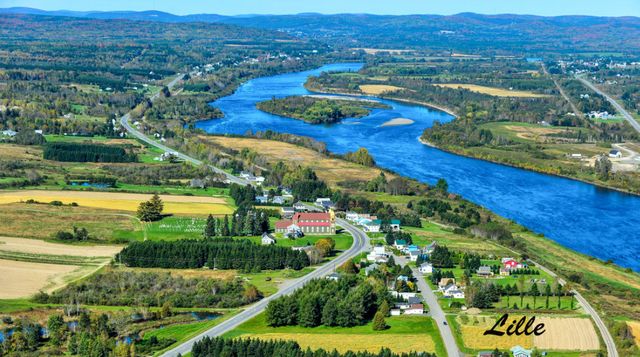
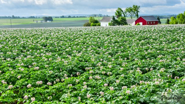
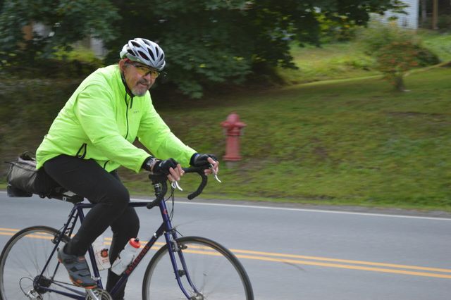
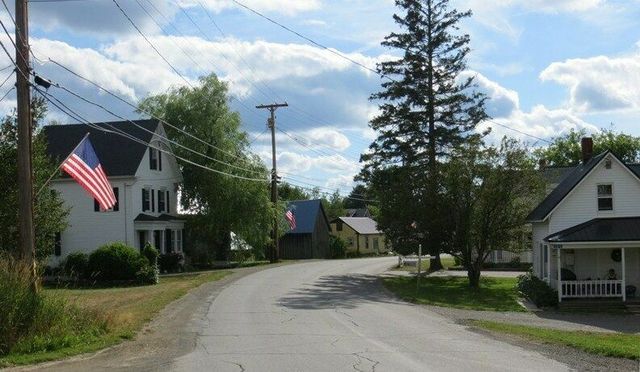
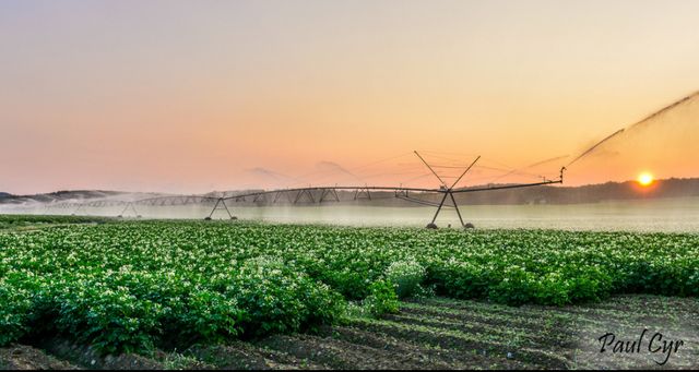
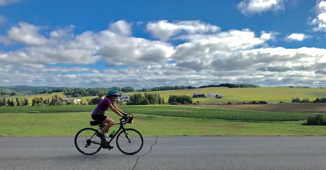
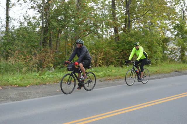
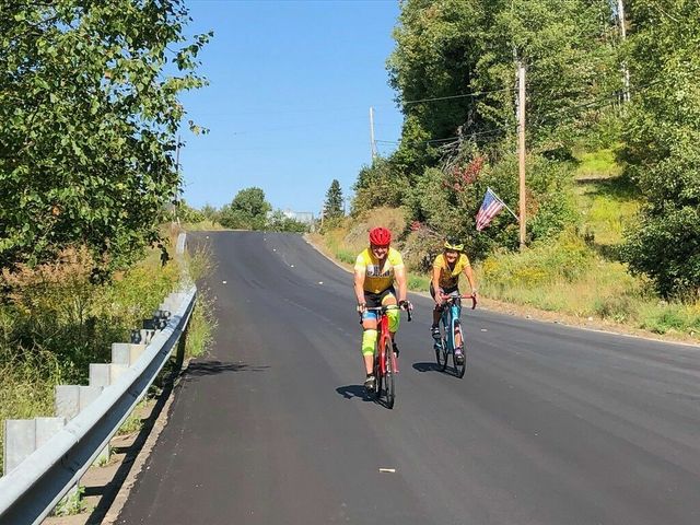
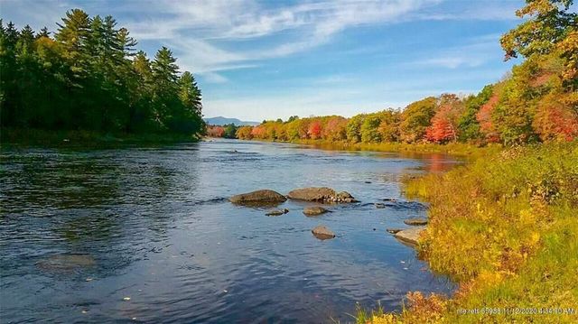
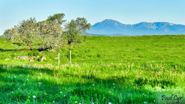
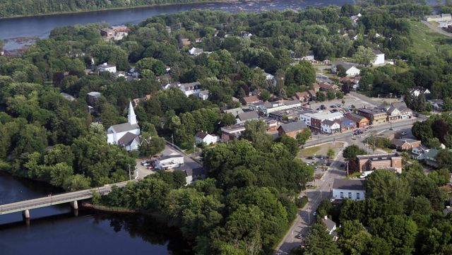
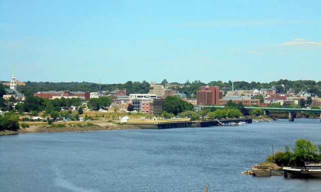
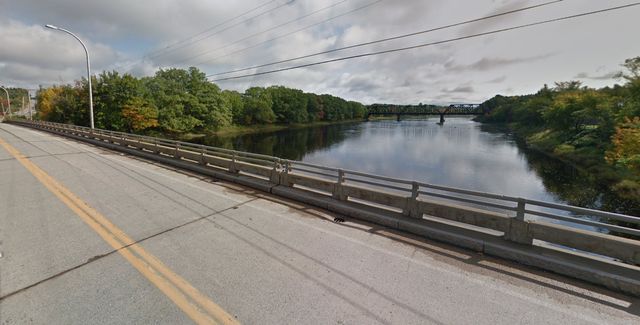
The Crown of Maine is a place of vast natural beauty as rolling farmlands are covered in potato blossoms through the summer and wildlife such as deer, eagles, and moose are friendly visitors. Aroostook County invites you to park downtown near our cafes and restaurants and cycle out of town on sweeping tours along the historic St. John River, working farmlands, Aroostook State Park, and historic blockhouses from the bloodless Aroostook War.
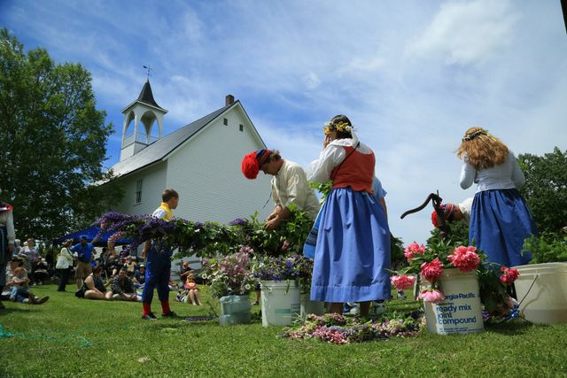
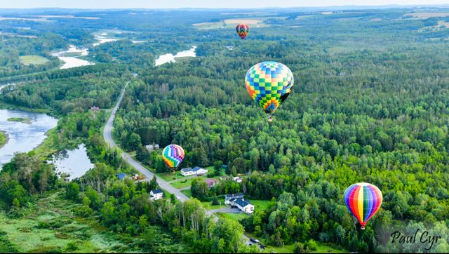
Friendly Main Streets and warm storefronts offer a variety of services and galleries for you to browse in the evenings as you rest waiting for what sites tomorrow's ride will bring. Summertime here comes alive with local festivals and celebrations that are unique to each town such as the Maine Potato Blossom Festival, Crown of Maine Balloon Festival, Acadian Festival, and Black Fly Brew Fest.
Ready to plan your trip? Head over to www.VisitAroostook.com or follow along with our story on Instagram, Facebook, Youtube, & Pinterest.
Lodging Directory:
Rest your head in bike-friendly beds by finding a place to make reservations using our lodging directory. You will find modern hotels, warm beds & breakfasts, and camping options to explore in all parts of Aroostook.
International Border Crossings:
There are 11 International Border Crossings into New Brunswick, Canada. It is advised to plan ahead and be prepared with a valid passport. Learn more about hours of operations any travel advisories that are in place here.
National Scenic Byways:
The St. John Valley/Fish River National Scenic Byway and Katahdin Woods and Waters National Scenic Byway are designated roadways that offer both breathtaking views and cultural significance to our region. The Million Dollar Scenic View is designated as a Maine Scenic Byway and is 8 miles of beautiful, unrestricted views that spill into New Brunswick, Canada.
Festivals & Celebrations:
- Tour De La Vallee
- Aroostook Fiddlehead Festival
- New Sweeden Midsummer Festival
- Maine Potatoe Blossom Festival
- Northern Maine Fair
- Houlton Agricultural Fair
- Ashland Summerfest
- County Bluegrass Festival
- Ploye Festival
- International Wheels Fly-in Cruise-in
- Acadian Festival
- Mawiomi of Tribes
- Harvest Festival
- Crown of Maine Balloon Festival
- Black Fly Brew Fest
- Aroostook County Brew Fest
Find more events taking place here.
Loading your map
Collections

Discover Presque Isle, Maine

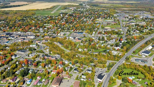
Explore Caribou, Maine

Island Falls, Maine & Beyond

Katahdin Region Rides

St. John Valley Rides

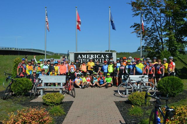
United States Bike Route 501
Popular Routes
Fort Kent 46 Miler
St John Valley 43 Miles
Potato Blossoms 51 Miles
Caribou—New Sweden—Stockholm 33 Miles
Houlton 21 Mile Loop
Presque Isle 35 Mile Loop
Caribou Gravel 50 Miles
Caribou—New Sweden 20 Miles
Caribou Gravel 25 Miles
Winn Loop 38 Miler
Aroostook River Ride 28 Miles
Van Buren-Presque Isle USBR 501
Staceyville-Lincoln USBR 501
Staceyville-Ludlow USBR 501
Old Town-Enfield USBR 501
Old Town-Bangor USBR 501
Northeast Penobscot Villages 76 Miles

Allagash-Van Buren USBR 501