Johns Peak to Kane Creek

Jacksonville, OR, US

Route Overview

5&9 Crazy Mofos

Unpaved route R&D in Southern Oregon and beyond

21 mi.
2,813 ft.

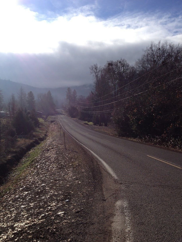
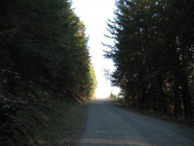
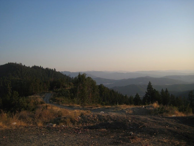
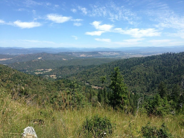
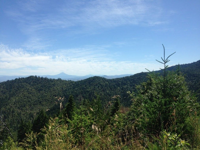
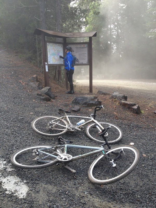
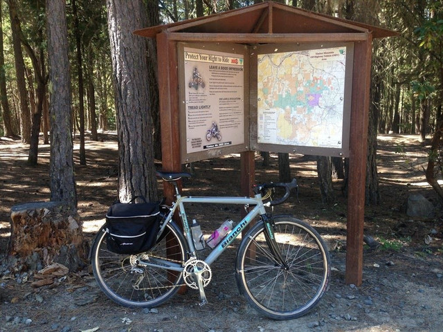
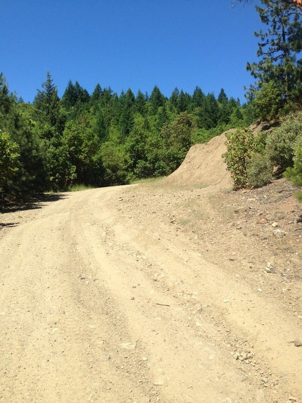
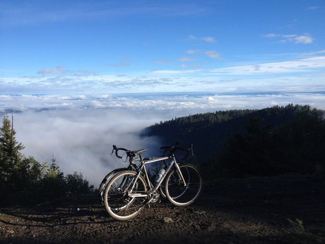
A fun mixed-surface loop that climbs gravel up and over the Jackson Creek watershed and Johns Peak area to emerge on the north side of Old Stage Road for a flat, mellow return. Great for fun weekend mornings and romantic summer evenings.

Route Details

This route is a challenging but fun gravel jaunt up and over the mountain range to the northwest of Jacksonville, a historic gold-rush town that still features many original buildings from the boom days. A long climb on gravel and granite roads leads to a fun gravel descent with views galore, and a mellow paved route back to the start.

Heading up

From downtown Jacksonville, you'll head west on highway 238, and a right turn onto Jacksonville Reservoir Road places you on hardpack granite and begins the climb. The road rolls a bit before climbing in earnest, entering Jacksonville's Forest Park land. Various kiosks along the way include trail maps -- there's a lot of great singletrack up here as well.

Proceed north and keep right at the first fork. You'll continue to climb up the side of the ridge for a while, switchbacking in and out of canyons. It gets fairly steep in a couple of spots, but not terribly so. Eventually, you'll exit Forest Park land and cross over into MRA-owned territory. Keep an eye out for OHV traffic through here.

Nearing the top

Follow the road as it winds through to the MRA parking lot and further north, where you'll make a left turn at a kiosk. You'll soon start climbing again in earnest, eventually making your way up to a landing zone, where views of the forest below, Table Rocks and Mount Mcloughlin are abundant.

The long downhill

The road continues as you begin descending and cross over into public land, becoming Kane Creek Road. You may have to cross a gate or two; they are intended to keep motorized traffic out during recent logging operations. The descent gradually becomes steeper, and soon you'll reach a junction with another kiosk. Stay right and follow the road. You'll soon emerge from the forest onto a ridge with more great views.

Continue following the road downhill. Keep in mind that corners here don't get a lot of sun in the winter months; watch out for ice.

Wrapping up

After wrapping off the ridge and continuing downward, you'll hit pavement and soon find yourself at Old Stage Road. Make a right turn and enjoy the spin back to town. This final leg, with rolling pavement and more vistas, can be as mellow or as intense as you want to make it.

Important notes

  • Cell service on the mountain is sparse at best, and usually disappears within the first couple of miles. While most parts of the route are reachable by vehicle, come prepared with spares, tools, water, food, and anything else you might need to remain self-sufficient.
  • Watch for bidirectional log truck traffic on the Kane Creek Road descent. The downhill can get very fast at times, and there is occasional washboard and thick gravel, so use caution.

Local tips

  • The entire ascending portion of the route is also a launchpoint to a large patchwork of trails in Jacksonville's Forest Park and MRA land. Come back and check them out.
  • Stop and say hi to the friendly folks at Cycle Analysis, Jacksonville's locally-owned bike shop, at the start, finish, or both. The shop hosts a mountain bike ride on the many trails outside of town every Wednesday night at 6 pm. All are welcome, and be sure to stick around for dinner afterward.
  • This route can be expanded to a larger route by adding a couple of turns that will let you exit the mountain to the northwest at Rogue River via Foots Creek Road, or to the southwest outside of Ruch at Forest Creek Road. Ask us for details.

Other routes by 5&9 Crazy Mofos