Trolley Trail Loop |

|
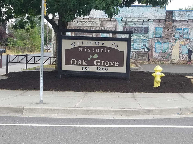
Milwaukie Heights, OR, US


Routenübersicht
31
km
167
m
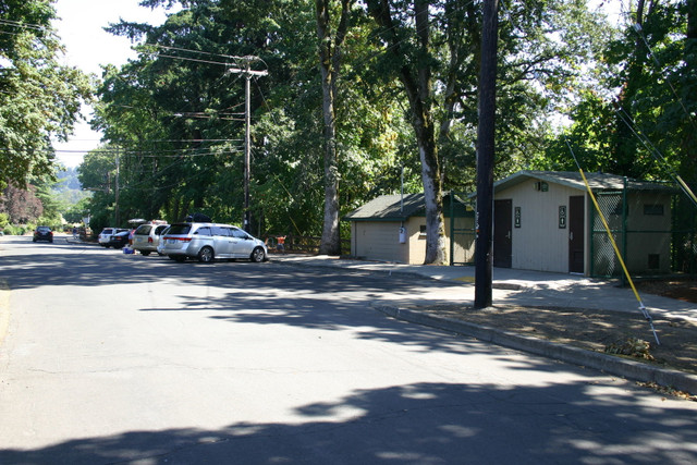
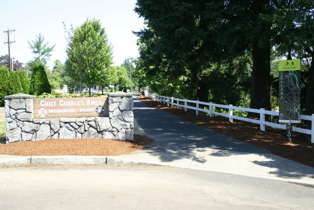
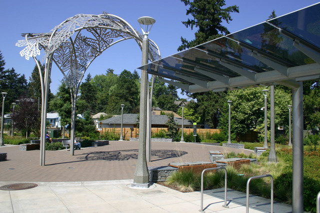
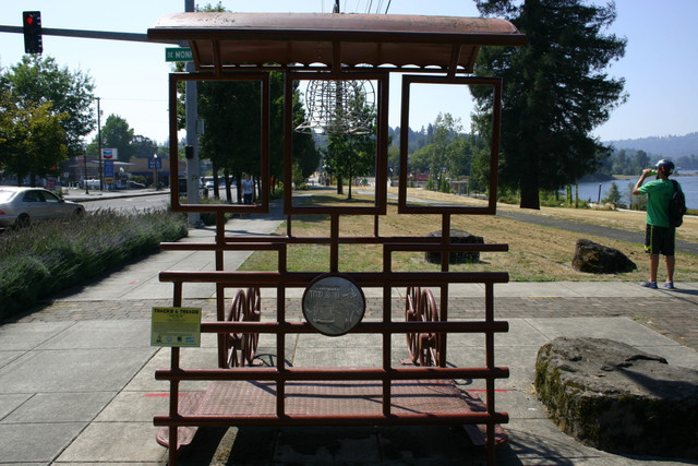
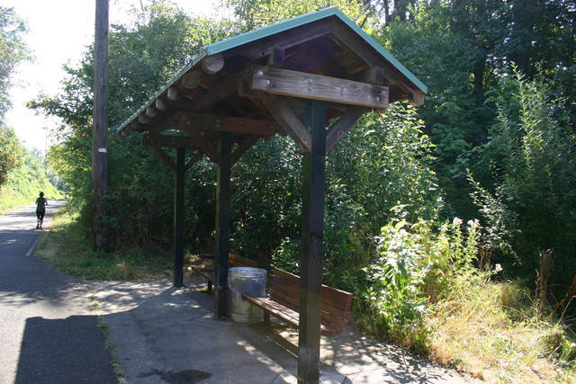
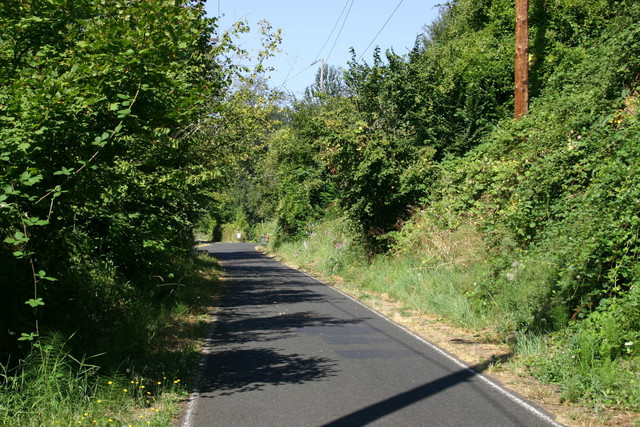
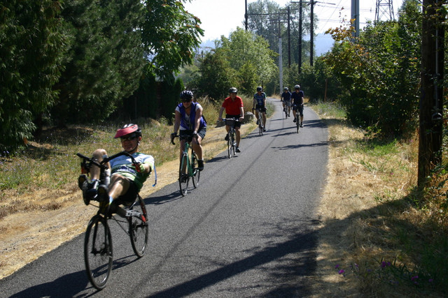
The 20 mile "Trolley Trail Loop" follows three paved multi-use paths - the Trolley Trail, Springwater Corridor and I-205 Multi-Use Path. 84% of the Trolley Trail is separated from the public roadway and automobile traffic, making it ideal for bicyclists of all ages and abilities.
Routendetails
Andere Routen von Mt. Hood Territory
Get Inspired, Not Lost. © 2025 Ride with GPS.
Nutzungsbedingungen
Datenschutzrichtlinie