NST North-South Trail | Bikepacking | Rockgeist |

|
Aperçu de l'itinéraire
Bikepacking Routes
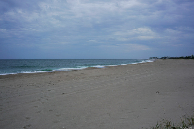
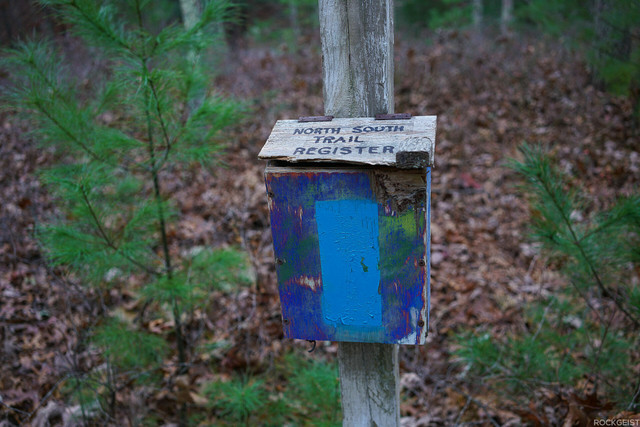
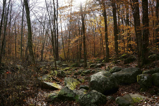
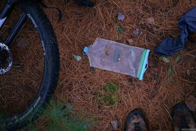
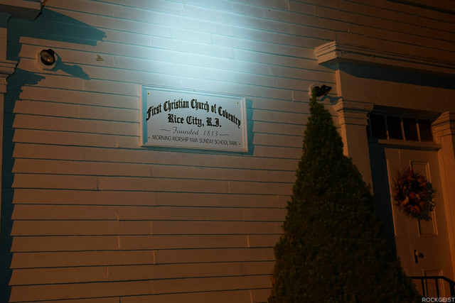
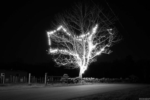
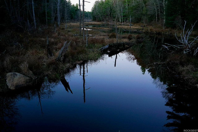
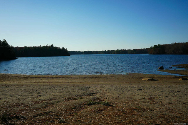
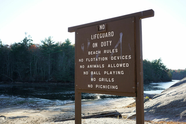
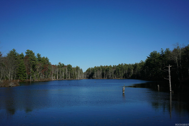
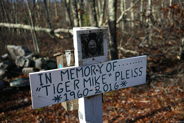
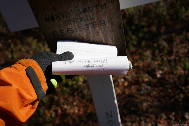
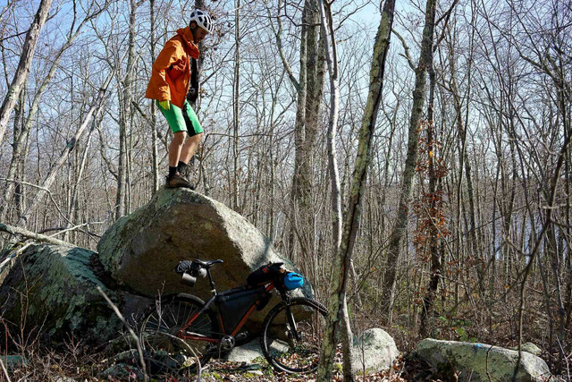
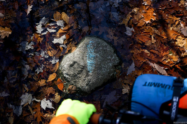
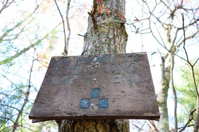
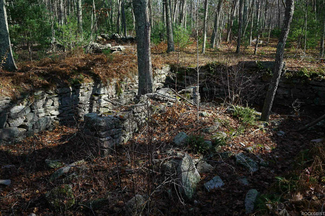
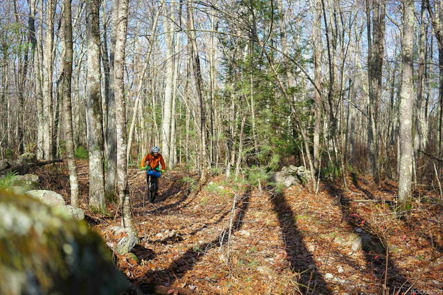
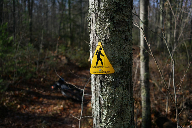
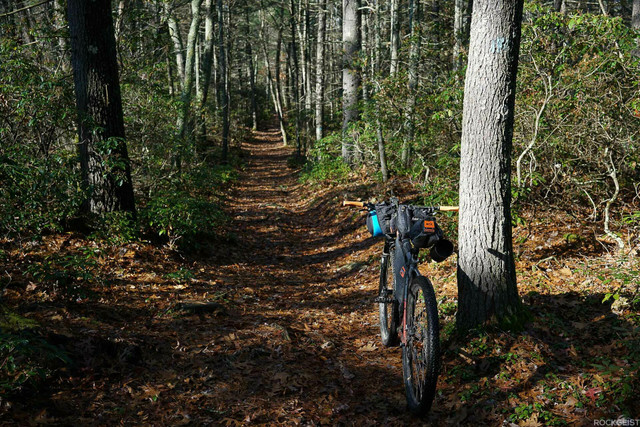
The North-South Trail is a single overnight bikepacking route traveling the length of Rhode Island. Blue Blazes mark the way while traveling over singletrack, double track, gravel, and country pavement.
Détails de l'itinéraire
Autres itinéraires de Rockgeist - Bikepack USA
Slight Chance of Pisgah - S24O Bikepacking
Bikepacking Routes
Slight Chance of Pisgah is a sub-24 hour overnight (S24O) bikepacking route. The route contains w... more
Slight Chance of Pisgah is a sub-24 hour overnight (S24O) bikepacking route. The route contains wet water crossings, vistas, technical singletrack, and sections of hike-a-bike. There is also potential for a seasonal stop at the Pisgah Inn. Major trails include Laurel Mountain and Big Creek. Please dismount and walk your bike during the Blue Segment near the parkway. Primitive campsites off the trail are free and most have a fire ring/pit.
More information on this and other S24O's can be found at rockgeist.com/routes/ (less)
Slight Chance of Pisgah is a sub-24 hour overnight (S24O) bikepacking route. The route contains wet water crossings, vistas, technical singletrack, and sections of hike-a-bike. There is also potential for a ...more
Slight Chance of Pisgah is a sub-24 hour overnight (S24O) bikepacking route. The route contains wet water crossings, vistas, technical singletrack, and sections of hike-a-bike. There is also potential for a seasonal stop at the Pisgah Inn. Major trails include Laurel Mountain and Big Creek. Please dismount and walk your bike during the Blue Segment near the parkway. Primitive campsites off the trail are free and most have a fire ring/pit.
More information on this and other S24O's can be found at rockgeist.com/routes/ (less)
Three Things - S24O Bikepacking
Bikepacking Routes
A one night gravel bikepacking loop traveling through the Great Smokies, Cherokee National Forest... more
A one night gravel bikepacking loop traveling through the Great Smokies, Cherokee National Forest, and Pisgah National Forest. Camping options include Max Patch and Round Mountain Campground. (less)
A one night gravel bikepacking loop traveling through the Great Smokies, Cherokee National Forest, and Pisgah National Forest. Camping options include Max Patch and Round Mountain Campground.
A one night gravel bikepacking loop traveling through the Great Smokies, Cherokee National Forest, and Pisgah National Forest. Camping options include Max Patch and Round Mountain Campground. (less)
Black Dome Challenge | Overnight Bikepacking | Rockgeist
Bikepacking Routes
Black Dome Challenge starts with a wheel dip in the French Broad River then climbs up to the summ... more
Black Dome Challenge starts with a wheel dip in the French Broad River then climbs up to the summit of Mount Mitchell, the highest mountain on the East Coast. Camp out at the summit then continue along the Blue Ridge Parkway the next morning. Your scenic tour of Western NC continues as you bike through Marion, Old Fort, Black Mountain, and finally conclude your trip by traveling though Asheville's River Arts District.
View the entire route description at https://rockgeist.com/routes/blackdomechallenge/ (less)
Black Dome Challenge starts with a wheel dip in the French Broad River then climbs up to the summit of Mount Mitchell, the highest mountain on the East Coast. Camp out at the summit then continue along the B...more
Black Dome Challenge starts with a wheel dip in the French Broad River then climbs up to the summit of Mount Mitchell, the highest mountain on the East Coast. Camp out at the summit then continue along the Blue Ridge Parkway the next morning. Your scenic tour of Western NC continues as you bike through Marion, Old Fort, Black Mountain, and finally conclude your trip by traveling though Asheville's River Arts District.
View the entire route description at https://rockgeist.com/routes/blackdomechallenge/ (less)
The Revival | Overnight Bikepacking TN | Rockgeist
Bikepacking Routes
The Revival is a big route with 13,800 feet of climbing in just under 100 miles. The bulk of the ... more
The Revival is a big route with 13,800 feet of climbing in just under 100 miles. The bulk of the miles are rough gravel with singletrack at the beginning, middle, and end to keep things exciting. Camping options include secluded primitive sites right off the Pinhoti Trail or the unrivaled hospitality of Mulberry Gap Mountain Bike Getaway.
(less)
The Revival is a big route with 13,800 feet of climbing in just under 100 miles. The bulk of the miles are rough gravel with singletrack at the beginning, middle, and end to keep things exciting. Camping opt...more
The Revival is a big route with 13,800 feet of climbing in just under 100 miles. The bulk of the miles are rough gravel with singletrack at the beginning, middle, and end to keep things exciting. Camping options include secluded primitive sites right off the Pinhoti Trail or the unrivaled hospitality of Mulberry Gap Mountain Bike Getaway.
(less)
Highlands Traverse | Bikepacking | Rockgeist
Bikepacking Routes
Big views, wild ponies, and chunky descents makes this overnight one of our favorites. The route ... more
Big views, wild ponies, and chunky descents makes this overnight one of our favorites. The route starts off with a zen-like climb up the Virginia Creeper trail before entering Grayson Highlands State Park. Here you'll climb up to the Virginia Highlands for some of the highest (legal) moutain biking on the East Coast. You'll find big views, wild ponies, and exposed camp spots all while navigating challenging terrain. After camping you'll make your way back to Damascus via the infamous Iron Mountain Trail.
Challenging rating due to distance, sections of hike-a-bike, remote trail, chance of extreme weather.
The full write up can be found at rockgeist.com/routes/highlandstraverse
Submitted by Sean Wiggins
(less)
Big views, wild ponies, and chunky descents makes this overnight one of our favorites. The route starts off with a zen-like climb up the Virginia Creeper trail before entering Grayson Highlands State Park. H...more
Big views, wild ponies, and chunky descents makes this overnight one of our favorites. The route starts off with a zen-like climb up the Virginia Creeper trail before entering Grayson Highlands State Park. Here you'll climb up to the Virginia Highlands for some of the highest (legal) moutain biking on the East Coast. You'll find big views, wild ponies, and exposed camp spots all while navigating challenging terrain. After camping you'll make your way back to Damascus via the infamous Iron Mountain Trail.
Challenging rating due to distance, sections of hike-a-bike, remote trail, chance of extreme weather.
The full write up can be found at rockgeist.com/routes/highlandstraverse
Submitted by Sean Wiggins
(less)
Backroads of Madison County | Bikepacking | Rockgeist
Bikepacking Routes
The Backroads of Madison County route takes you on a rolling exploration of the countryside just ... more
The Backroads of Madison County route takes you on a rolling exploration of the countryside just out the front door of Rockgeist world headquarters. This mostly paved route has a few gravel sections, and one somewhat technical gravel “road” mountain traverse. A reserved riverside campsite with a covered table, fire ring, and composting toilet is a real treat at the end of the single night trip.
Read the full route description on the Rockgeist Route Page, https://rockgeist.com/routes/backroads-of-madison-county/ (less)
The Backroads of Madison County route takes you on a rolling exploration of the countryside just out the front door of Rockgeist world headquarters. This mostly paved route has a few gravel sections, and one...more
The Backroads of Madison County route takes you on a rolling exploration of the countryside just out the front door of Rockgeist world headquarters. This mostly paved route has a few gravel sections, and one somewhat technical gravel “road” mountain traverse. A reserved riverside campsite with a covered table, fire ring, and composting toilet is a real treat at the end of the single night trip.
Read the full route description on the Rockgeist Route Page, https://rockgeist.com/routes/backroads-of-madison-county/ (less)
Roll Call - S24O Bikepacking
Bikepacking Routes
Roll Call is a sub-24 hour overnight (S24O) bikepacking route that is part gravel and part single... more
Roll Call is a sub-24 hour overnight (S24O) bikepacking route that is part gravel and part singletrack. The singletrack is sprinkled throughout the ride and is almost all downhill for a fast and flowy alternative to the gravel climbs. All marked primitive camp locations have a fire ring and are free.
More information on this and other S24O's can be found at rockgeist.com/routes/ (less)
Roll Call is a sub-24 hour overnight (S24O) bikepacking route that is part gravel and part singletrack. The singletrack is sprinkled throughout the ride and is almost all downhill for a fast and flowy altern...more
Roll Call is a sub-24 hour overnight (S24O) bikepacking route that is part gravel and part singletrack. The singletrack is sprinkled throughout the ride and is almost all downhill for a fast and flowy alternative to the gravel climbs. All marked primitive camp locations have a fire ring and are free.
More information on this and other S24O's can be found at rockgeist.com/routes/ (less)
Kingdom Maid - S24O bikepacking
Bikepacking Routes
Kingdom Maid is a sub-24 hour overnight (S24O) bikepacking route leaving from Kingdom Trails in n... more
Kingdom Maid is a sub-24 hour overnight (S24O) bikepacking route leaving from Kingdom Trails in northern Vermont. Take gravel roads out to Maidstone State Park where you can swim and camp lake-side before looping back. (less)
Kingdom Maid is a sub-24 hour overnight (S24O) bikepacking route leaving from Kingdom Trails in northern Vermont. Take gravel roads out to Maidstone State Park where you can swim and camp lake-side before lo...more
Kingdom Maid is a sub-24 hour overnight (S24O) bikepacking route leaving from Kingdom Trails in northern Vermont. Take gravel roads out to Maidstone State Park where you can swim and camp lake-side before looping back. (less)
West Ouachita | Bikepacking | Rockgeist
Bikepacking Routes
This star of this overnight route is the challenging, remote singletrack of the Western portion o... more
This star of this overnight route is the challenging, remote singletrack of the Western portion of the Ouachita (waa·shee·tuh) National Recration Trail. The Ouachita Trail boasts some of the best downhills in Arkansas with rugged, rocky climbs and descents while offering shelters along the way for a solid night's rest. After the Ouachita tests your resolve, bail off onto the IMBA Epic Womble singletrack where you'll enjoy smooth cross-country singletrack along river bluffs back to the start. (less)
This star of this overnight route is the challenging, remote singletrack of the Western portion of the Ouachita (waa·shee·tuh) National Recration Trail. The Ouachita Trail boasts some of the best downhills i...more
This star of this overnight route is the challenging, remote singletrack of the Western portion of the Ouachita (waa·shee·tuh) National Recration Trail. The Ouachita Trail boasts some of the best downhills in Arkansas with rugged, rocky climbs and descents while offering shelters along the way for a solid night's rest. After the Ouachita tests your resolve, bail off onto the IMBA Epic Womble singletrack where you'll enjoy smooth cross-country singletrack along river bluffs back to the start. (less)
Bald River | Overnight Bikepacking | Rockgeist
Bikepacking Routes
A great sub-24 hour overnight (S24O) with the main gravel climb on day one followed by a gradual ... more
A great sub-24 hour overnight (S24O) with the main gravel climb on day one followed by a gradual descent on gravel/pavement back to the car on day two. This is a beginner friendly route with prime opportunity for dogpacking or towing kids. About two thirds of the route follows the Bald River which offers great river-side riding with swimming holes and plenty of primitive campgrounds to choose from.
Developed by Fireside Outpost: https://www.firesideoutpost.com (less)
A great sub-24 hour overnight (S24O) with the main gravel climb on day one followed by a gradual descent on gravel/pavement back to the car on day two. This is a beginner friendly route with prime opportunit...more
A great sub-24 hour overnight (S24O) with the main gravel climb on day one followed by a gradual descent on gravel/pavement back to the car on day two. This is a beginner friendly route with prime opportunity for dogpacking or towing kids. About two thirds of the route follows the Bald River which offers great river-side riding with swimming holes and plenty of primitive campgrounds to choose from.
Developed by Fireside Outpost: https://www.firesideoutpost.com (less)
Pisgah Paddler Bikerafting | Rockgeist
Bikepacking Routes
Pisgah Paddler is a beginner-friendly bikerafting loop consisting of a ride through Pisgah Nation... more
Pisgah Paddler is a beginner-friendly bikerafting loop consisting of a ride through Pisgah National Forest and a float along the French Broad River. Ideal for a 1 or 2 night ride with camping options both off trail and off river. The mostly-gravel route contains steep climbs, winding descents, minor fords, a quick hike-a-bike, singletrack, and a short ride through the town of Etowah. Paddle-in only campsites are available along the French Broad River Paddle Trail, and plenty of dispersed camping can be found throughout Pisgah National Forest. The packrafting section of this route is primarily flat water, perfect for gaining experience.
Submitted to Rockgeist by Ryan Stoyer (less)
Pisgah Paddler is a beginner-friendly bikerafting loop consisting of a ride through Pisgah National Forest and a float along the French Broad River. Ideal for a 1 or 2 night ride with camping options both of...more
Pisgah Paddler is a beginner-friendly bikerafting loop consisting of a ride through Pisgah National Forest and a float along the French Broad River. Ideal for a 1 or 2 night ride with camping options both off trail and off river. The mostly-gravel route contains steep climbs, winding descents, minor fords, a quick hike-a-bike, singletrack, and a short ride through the town of Etowah. Paddle-in only campsites are available along the French Broad River Paddle Trail, and plenty of dispersed camping can be found throughout Pisgah National Forest. The packrafting section of this route is primarily flat water, perfect for gaining experience.
Submitted to Rockgeist by Ryan Stoyer (less)

