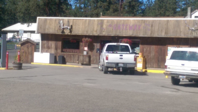
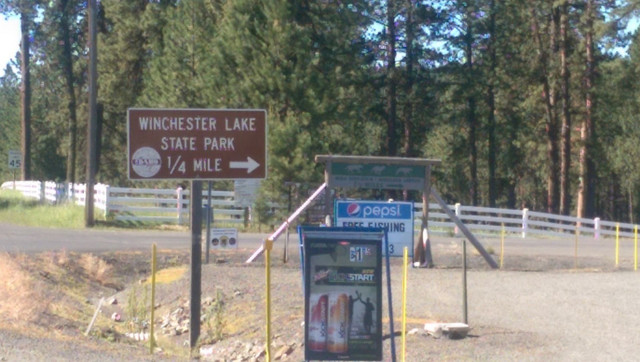
Drovers Run |
![]() |
Road Rides in Eastern WA and Idaho
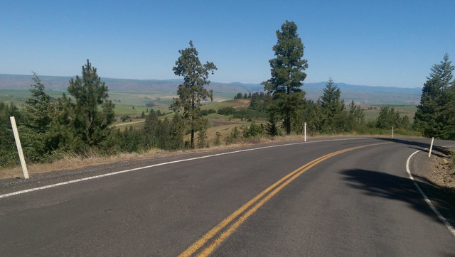
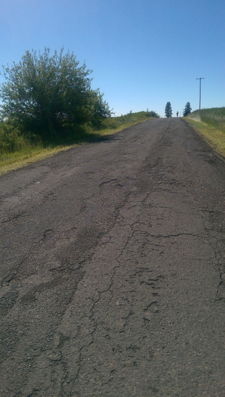
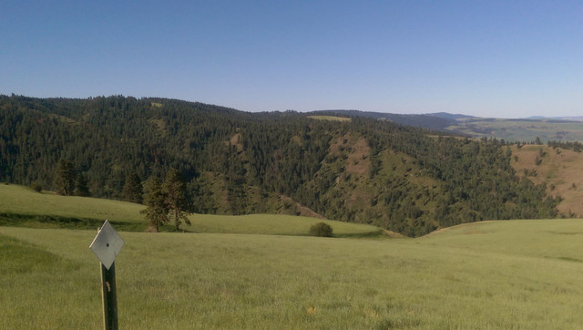
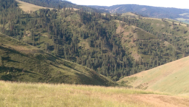
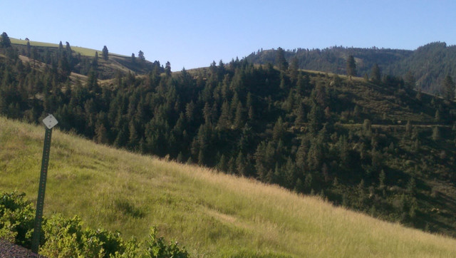
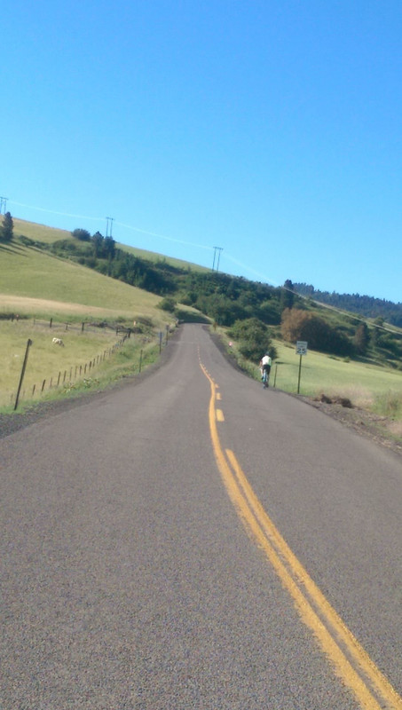
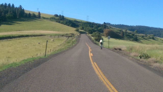
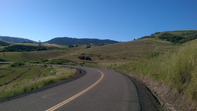
Wind up through hay and rape seed fields; switchback under tall trees. Gaze along open vistas to the southeast, northeast, and back toward the city. 2400 feet in 10 miles but the rollers to come may be a bigger challenge still. You'll earn your beer and burger at Drovers Run.
The old Winchester Grade is one of two popular Lewiston area climbs. It is less known, more scenic, and more challenging than the Spiral Highway in Lewiston.
This climb is part of Adventure Cycling's northern tier route. Tourists do it in the heat of Summer. We prefer Spring or early Summer and then again in the Fall. The change in elevation can turn a warm spring day into a chilly ride on the prairie. Check your forecasts.
Drovers Run sits at a railroad siding called Jacques Spur. You ride 2.4 miles up 95 toward Boise where you take a sharp right to begin climbing the old Winchester Highway.
One of the features of this ride is the climate and terrain changes you experience. The lower slopes are farmland with several shades of green in the Spring punctuated by bright yellow rape seed fields.
Switchbacks take you gradually (2 to 7 percent grade) up a ridge affording views to the southwest and the northeast as well as back to the northwest toward Lewiston.
Closer to the top you get a better sense of elevation as you wind through forest switchbacks.
Not all the climbing is done when you reach the top. The eight miles on to Winchester include several more short climbs and rollers, giving you a taste of the second part of this ride.
In Winchester you'll find the Gateway Convenience store on the main road. If you are planning a meal at Drovers Run, you still want to get a drink and a bite to eat. The rest of the route is rolling hills and if you don't eat them, they'll eat you.
There are a couple of restaurants on the east side of Winchester if you want a meal.
You'll drop down a steep descent through trees that only partly hide Winchester Lake. Riders use this descent to gain momentum for the immediate climb back out of the lake. But don't. Stop to take some pictures of this pretty little lake. The climb is short and not as steep as it looks.
Rollers take you out to highway 95 where there is a second convenience store. Right turns onto 95 are free, but be sure to merge over onto the shoulder. This is the main north/south highway in Idaho and 65 mph is not a speed you're going to like. There is plenty of shoulder but it has been rumble stripped and a guard rail has been installed along a short climb which makes the shoulder about a foot wide. If traffic allows, use the fog line.
In about 2 miles, you'll make a left turn onto Reuben/Gifford Road. Be very careful. Oncoming traffic appears very rapidly just at your turn. Fortunately there is plenty of roadway here if you hold your line. Just be careful.
The rollers get mean now for about 8 miles. If you have a north wind,they are tough. A southwind will make you fly. You can stay on this route if you like all the way to highway 12 and the Clearwater River. That would make your ride about 70 miles. So don't miss the turn on the old CuldeSac road.
Now you are heading west and the rollers continue. You'll climb a bit through trees before taking a sharp right turn heading north and west.
The road begins to descend steeply at 7 to 8 % and more than 10% in places. The pavement is good and the traffic light, but control your speed. Enjoy the views.
The steepest slope comes just before you turn a corner, cross a bridge, and ride into downtown CuldeSac. Just stay straight all the way through town. There aren't any services here and Drovers Run will be open at 11am. It is only 3 miles away.
At the north end of town, the road takes a left and crosses the railroad tracks. This will put you on 95 for over 2 miles. The shoulder is narrow and rumble stripped here. This route takes you instead straight on Chambers Road for another mile. This is really nothing more than an alley. Though it is has potholes, it is paved and the traffic is slow. You may get to talk with residents.
In a mile the road takes a left. You cross the railroad tracks at a square angle. You'll find the shoulder wider, if not smoother. And Drovers Run is only a mile away.
Caution! This is 95 and the traffic includes big rigs going 65 or better. Stop on the shoulder rather than executing a take-the-lane maneuver.
The beer is on tap and the meat is barbecued. Enjoy!
Wolf Education and Research Centerv Take a tour. See wolves.
St. Joseph's mission on Mission Creek Road. This historical site is a 3 mile ride on a slight grade.
Nez Perce National Historical Park and Museum at Spalding.
You can do this ride from late April through September. You can carry enough food and water to do this ride without support, especially with a stop at the Gateway in Winchester.The earlier you start in the heat of summer the better. It can be hot even on the Camas Prairie. And it can be bitter cold and raining even when the sun is shining in the valley. Check the forecast for wind as well. It will matter as you ride the rollers going north.
The eight miles from the top into Winchester are patchy and rough.
everywhere else the roads are seal coated but good riding.
Rumble Strips: From Dovers Run
Rumble Strips: 2 miles on 95 with rumble strips
Stay straight on this route back to Drovers Run avoiding a bad mile of rumble strip. It is only an alley and will be rough but won't have traffic. Or, you can just follow the road out to 95.
Traffic is light except whenever you are on 95.
Park at Drovers Run
Start by 8 and plan to be back by noon. Stop, take pictures, enjoy. Then have a good meal and a beer.
Figure 1.5 to 2 hours to ride the 17 miles to Winchester. Hammer heads can do it in an hour, but why?