Western Valley: Hops, Crops, and Winery Stops |

|
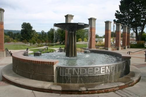
Monmouth, OR, US


ルートの概要
Western Valley Cycling
Beautiful rides on every surface, for every experience level.
39
km
154
m
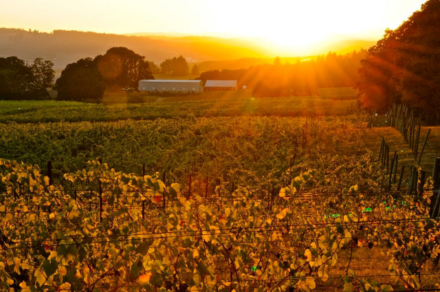
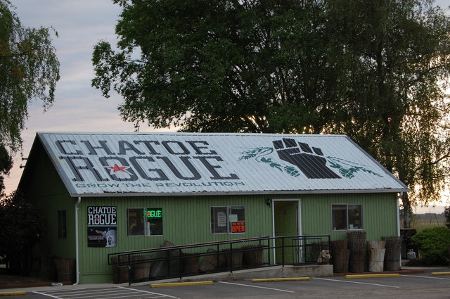
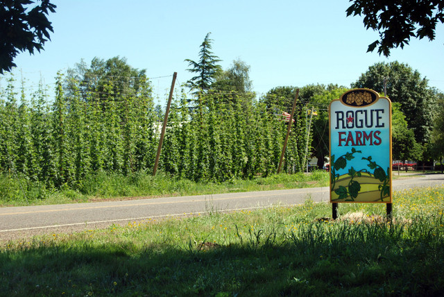
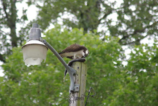
As the name implies, this easy, relatively flat ride loops through the scenic farmland, hop fields, vineyards, and historic small towns of south Polk County. Wineries, breweries, and wildlife areas along the way make it easy to turn this into an all-day ride.
ルートの詳細
Western Valley Cyclingによる他のルート
Western Valley Bikeway: Miles of Smiles
Western Valley Cycling
Beautiful rides on every surface, for every experience level.
Western Valley: Wings, Wine, and Wonder (Gravel)
Western Valley Cycling
Beautiful rides on every surface, for every experience level.
Western Valley: Ritner Creek Covered Bridge
Western Valley Cycling
Beautiful rides on every surface, for every experience level.
Get Inspired, Not Lost. © 2026 Ride with GPS.
利用規約
プライバシーポリシー