Learn how to use our Flatten Elevation tool to correct elevation inaccuracies caused by bridges, tunnels, and tall buildings.
All Ride with GPS users can utilize this tool to correct rides they’ve uploaded and routes they’ve planned.
This tool will flatten out the elevation for your selection, regardless of recorded data, so use only to fix areas that you know are flat.
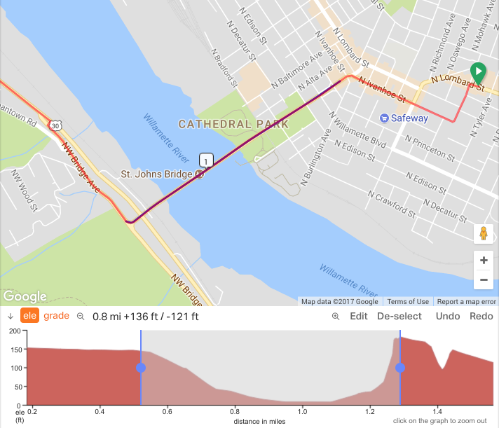
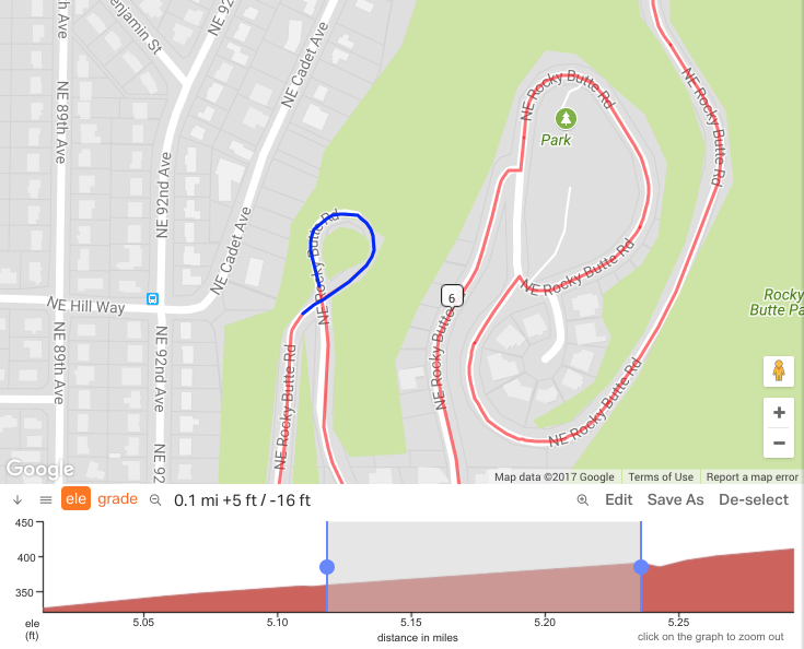
- Click & Drag a selection in the Elevation Profile at the bottom of the map.
- Refine the selection by dragging the handles at the ends of the selection bar
- Click EDIT > FLATTEN ELEVATION
- Click REVERT to undo
- Click SAVE when you are done
More examples of when to use Flatten Elevation.
Large bridge spans that are a significant height over the water often have an elevation dip as the scanning satellites recorded the ground rather than the bridge itself.
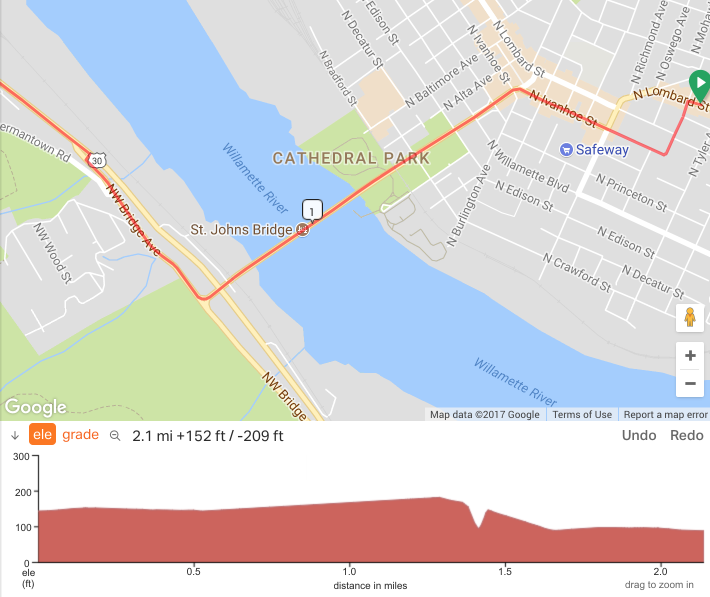
Here the dip is normalized to something closer resembling the actual height of the bridge rather than the river below.
Going up a large hill, this route passes through a short tunnel causing an elevation spike from the map data. I’ve selected the spike where it starts and ends.
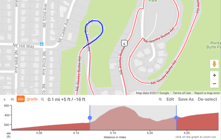
Here’s the tunnel after Flatten Elevation. The elevation spike is now gone and the metrics have updated automatically.
Now get out and ride!