Perimeter of Ottawa #loopyourcity

Ottawa, Ontario, CA

Panoramica del percorso

Decent Diversions

Creative Adventures

333 km
1.432 m

Route updated after riding it (again) in 2023.

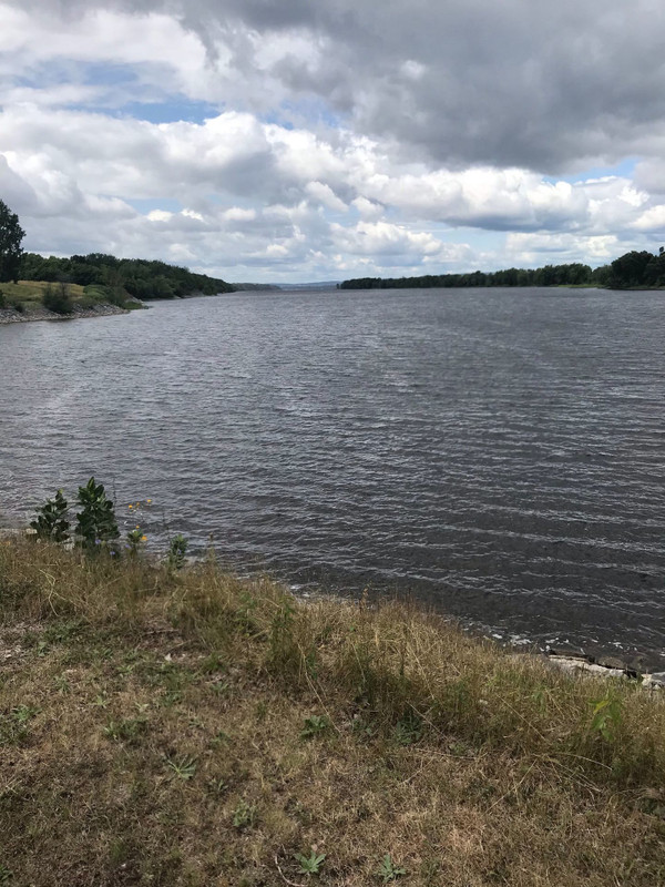
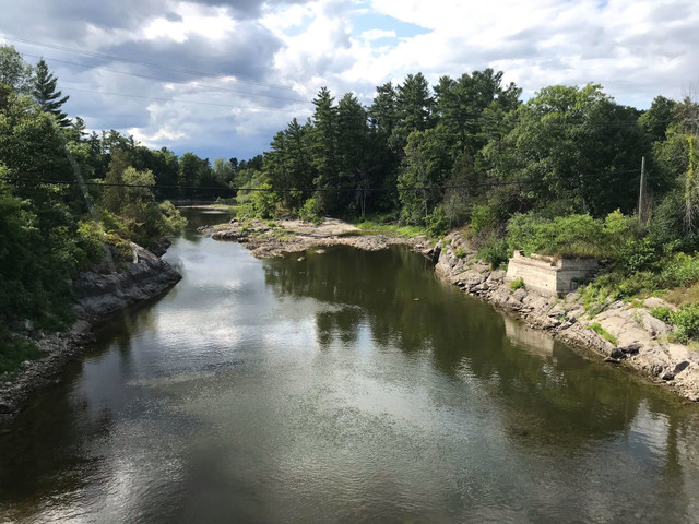
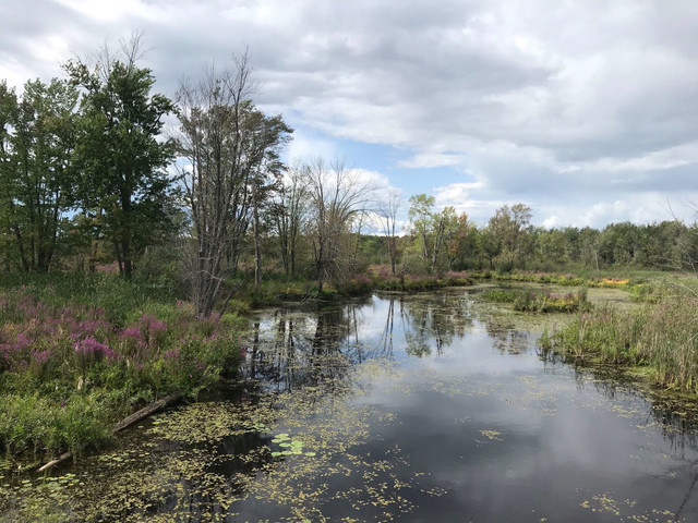
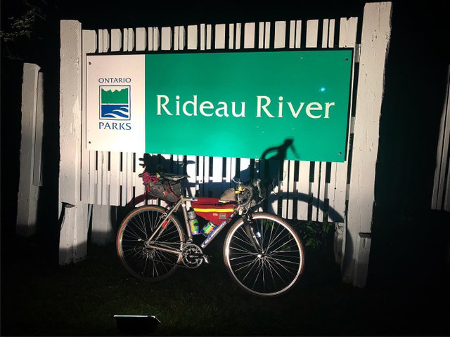
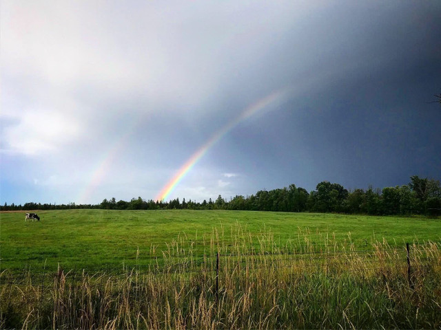
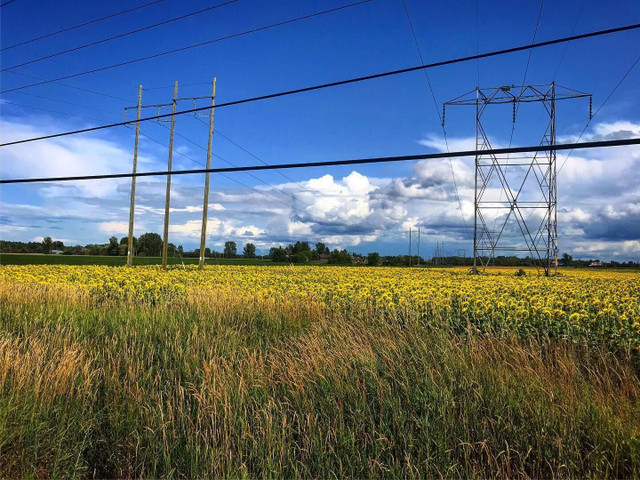
Randonneur-style loop of the perimeter of Ottawa, using country roads, multi-use pathways & road allowances as close to the city limits as possible without exiting them. Geopolitical Strava art! Can you #loopyourcity?

Dettagli del percorso

Route updated in 2023.

Bikepacking loop of the perimeter of Ottawa, using country roads, multi-use pathways & road allowances as close to the city limits as possible without exiting them. Some short sections might require jumping fences and live the spirit of Right to Roam laws from other countries. Always remember to Leave No Trace!

This route was drawn to start at Burritts Rapids but there are a number of logical starting points. Too many to list here. The route is designed to be done from someone's front door.

My first, 304km, attempt of this got a decent amount of attention, including web & radio attention from CBC. Can you #loopyourcity?

Route

  • Start from your front door and ride to the nearest city boundary. Start from there.
  • Prepare for mixed terrain. Cracked asphalt, dirt, multi-use pathways, gravel, etc...
  • Some areas are remarkably remote. Be sure to carry enough food and water. Water is available at a decent amount of gas stations and other public spots though.
  • Beautiful views of the Ottawa River, a nice view of the Mississippi River near Galetta, Highlight some of the sights
  • Expect some decent headwinds on the northwest and northeast ends of the loop as you head towards the Ottawa River.

Notes

  • The best time to ride is probably mid to late August when mosquitos aren't too bad, summer's heat is generally wearing off a bit but the days are still long.
  • A meal stop at the Ashton Pub on the Trans-Canada Trail is never a bad idea. Neither is grabbing a snack at the Black Walnut in Cumberland. Both spots are known hangouts for cyclists.
  • The marked route includes short bits that require gate jumping. These are marked on the map. Surface quality varies in these sections (be prepared to walk) but they are road allowances that best follow the city's boundary. In one of these sections, there's a short but steep and rocky descent near the gate between both ends of Birchgrove. You may love it or it may take you by surprise.
  • Google will tell you that Belmeade Road is uninterrupted but it heads east from South Gower Boundary Road as a rutted tractor path before it enters a forest and narrows into a fun 2km stretch of doubletrack.
  • While most of the route is paved, a wider tire is advised due to damaged ashphalt and the regular need to ride a gravel shoulder.
  • Some sort of rear view mirror is recommended.

#LOOPYOURCITY

Altri percorsi di Decent Diversions