Copper Triangle Traditional (Vail Pass last) |
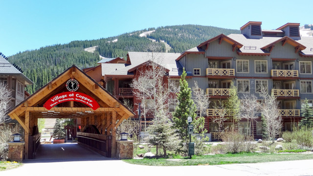
![]() |
Cycling Travel in Colorado
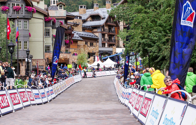
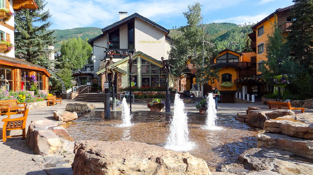
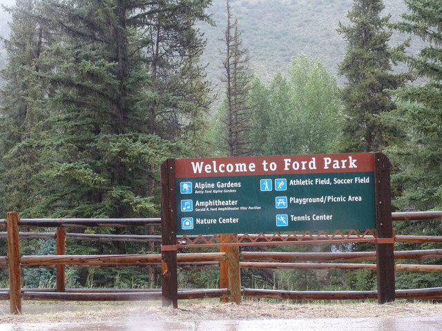
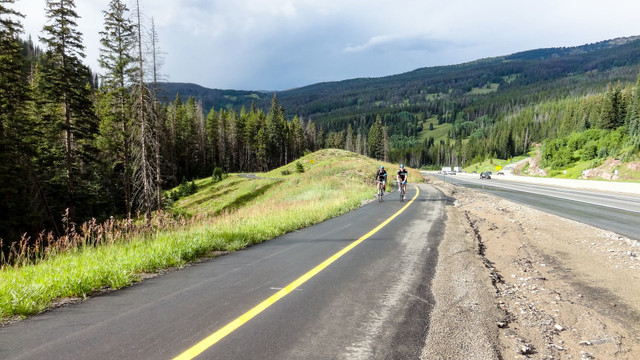
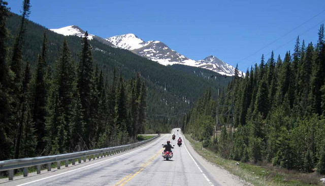
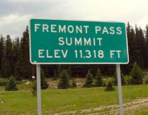
A classic 80-mile Colorado loop road ride featuring 4 mountain climbs and 3 mountain villages, passing mines, rivers and miles of open mountain scenery in Summit, Lake, and Eagle Counties.
Copper Mountain - Fremont Pass - Leadville - Tennessee Pass - Battle Mountain - Minturn - Vail - Vail Pass - Copper Mountain
At a distance of 79-miles, the Copper Triangle is a classic Colorado high mountain loop bike ride. Departing Copper Village and immediately ascending Fremont Pass, you will skirt the city of Leadville, continuing over Tennessee Pass, past Camp Hale, up Battle Mountain through the town of Minturn and enter Vail Village. You only have the steep climb up Vail Pass ahead of you before an easy descent returning into Copper Village to complete the loop.
This route is recommended for advanced-intermediate to advanced cyclists: long climbs, exposure to the mountain elements, cycling at altitude.
The Copper Triangle is a long tradition for Colorado cyclists and a definite bucket-list ride. It is the route used annually for the Colorado Cyclist Copper Triangle event ride to benefit the Davis Phinney Foundation for Parkinson’s disease. Held the first week of August, the ride typically sells out in capacity. The special event is relatively expensive but does donate to charity and provides a great expo, lunch and live music afterwards in Copper Village for all participants. Although beautiful on any quiet weekend, this route is lots of fun with hundreds of other cyclists peppered along the climbs.
Your ride:
Please read the additional riding in Summit County cycling tips offered on this page.
THE CLIMBS
For details about the climbs included on this route: Fremont Pass, Tennessee Pass, Battle Mountain and Vail Pass - please see the climb FAQS and read the climb links offered on the Pedal Dancer® Guide Page of Colorado Climbs.
LOCATION - SUMMIT COUNTY, LAKE COUNTY AND EAGLE COUNTY
It’s a big route covering three high-country counties in Colorado. You will start in Summit County, pass through Lake County, enter Eagle County and finish again in Summit County. Nearby towns include: Copper Mountain, Leadville, Red Cliff, Minturn, Avon, Vail, Frisco, Dillon, Silverthorne, Keystone, and Breckenridge.
START/FINISH AND PARKING
This route begins and ends at Copper Mountain Village where you will find plenty of parking spaces; you may begin your ride from any of the parking lots. You may also ride from Frisco, or begin and end your route in Vail. Reversing this route is possible although Fremont Pass first /Vail Pass last is the more traditional direction with +6560ft of elevation gain in 79-miles.
WATER ON ROUTE
Start with two full bottles of water in Copper Mountain Village. Definitely fill up again at the convenience store on the outskirts of Leadville (where you turn right from Hwy 91 onto Hwy 24). Your next water can be found in the town of Minturn 29 miles away. There are several parks and water sources in Vail Village, and again at the top of Vail Pass (where the finish is 5-miles away).
RESTROOMS ON ROUTE
You will find numerous facilities on route – either buildings or porta-potties. Please check the route map for locations.
CAUTIONS ON ROUTE
Come prepared for changing weather. Plan your ride between 7:00 or 8:00am-3:00pm. Afternoon rain showers are common. Much of this route is along highways and away from city conveniences. Initially the road up to Fremont Pass - the first climb - has a narrow shoulder that widens up the road. There is a long stretch without water between Leadville and Minturn. Watch for gravel and snowmelt run-off on the descents. Watch for two-way traffic on the narrow bike path climbing to the top of Vail Pass (stay in your lane and stay alert to on-coming cyclists). There might be debris and/or snowmelt inside the short dark tunnel, which passes under I-70, just after the parking lot at the very top of Vail Pass.
SAG SUPPORT
Having a support vehicle is highly advised for this route, although it is possible for experience cyclists to complete unassisted. Having sag support is wonderful for water, extra clothing, mechanics supplies, picture taking and cheering you on over four high passes! Sag drivers can keep busy between meeting points by enjoying nearby hikes, parks, landmarks, cafes and photography.
A tip on sag support: if you cannot arrange one single driver, all it takes is 4 people driving a quick 20-miles each, or 8 people driving 10-miles each. Driving the route is equally as scenic but much less difficult.
PHONES
Your cell phones may or may not work at all points along this route. In Colorado texts may go through if calls will not. Mapping features often remain on.
POINTS OF INTEREST (POI) ON ROUTE
AREA HISTORY
Read more about the history of the towns you will be riding through and roads you will be riding upon here.
LOCAL FOOD AND DRINKS
MORE INFORMATION ABOUT CYCLING IN COLORADO
More cautions, cycling tips, city tourist websites and a list of bike shops (including bike rental locations) may be found on the Pedal Dancer Ambassador Profile page.
ROUTE CONTRIBUTORS
Karen Rakestraw, Laurie Decoteau.