Hwy 89- Monitor Pass

Northern Mono County, CA

Route Overview

Caltrans- District 9

State highways in Inyo, Mono, and Eastern Kern Counties

19 mi.
3,234 ft.

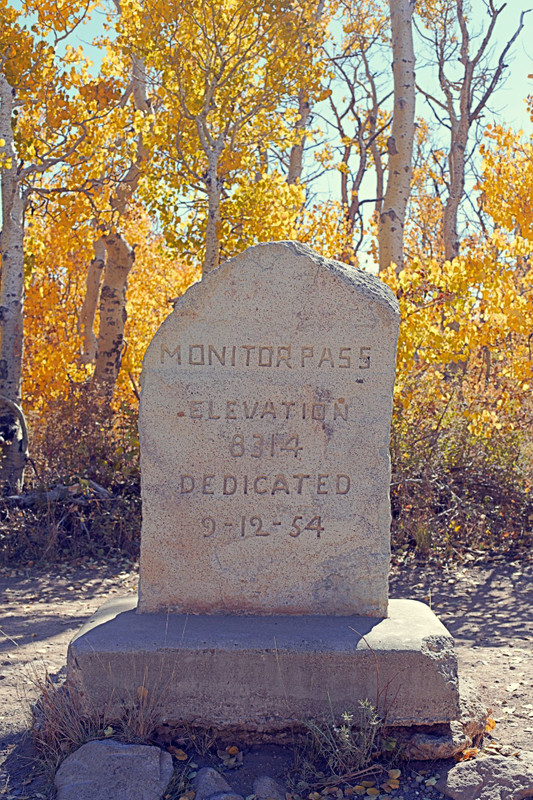
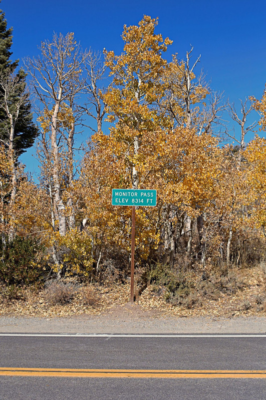
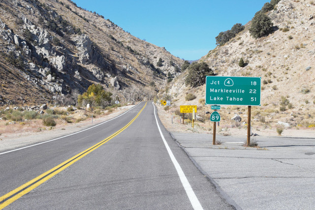
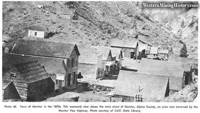
A ride over Monitor Pass on Hwy 89 is not only a challenging ascent through the mountains, but also a historic journey across a route used by Native Americans, frontiersmen, miners, and even camels.

Route Details

From its starting point along US 395 in the Antelope Valley, Hwy 89 wastes no time beginning its 3,200 ft climb to the summit of Monitor Pass in a beautiful aspen grove. It's all uphill on the way to the pass and will be a fast descent back to the start. Once the road opens for the year, usually April or May, it's great riding until the winter snows close it around December.

From a gravel lot at its junction with Hwy 395, Hwy 89 starts its 243 mile journey to Mt. Shasta deep in Northern California. For our ride today though, we'll take you up the first 9.5 miles to the 8,314 ft Monitor Pass. It's a challenging, but beautiful ride up the eastern face of the Sierra Nevada Mountains.

Monitor Pass is a narrow, twisting climb with no shoulders so cyclists should be experienced and comfortable on mountain highways. It is relatively low traffic though and beautiful views of sagebrush valleys giving way to pines and aspens at higher elevations will motivate cyclists to keep climbing upwards. Once one reaches the top, they can turn around for a thrilling descent back to the car (make sure those brakes work!) or continue into Alpine County for a longer ride. If one keeps going on Hwy 89, know that it is uphill back to the pass and there are no services for at 13 miles off the west side until the small town of Markleeville.

More resources

Weather at the start

Weather at the pass

Road status- https://roads.dot.ca.gov/- be sure Hwy 89 is open before attempting to ride it.

Important Reminders

Monitor Pass is closed roughly December to May each year due to winter snowfall. You can check the Caltrans Quickmap application for current road status. Be aware that several other Sierra passes also have winter closures and this could affect travel to or from the start of the ride depending on where you're coming from.

Remember as with all mountain rides, temperatures can change dramatically with elevation so bring layers and be prepared for challenging climbs with no water or services available. Once you leave US 395 to start riding you will likely lose cell service so make sure to let someone know where you're riding.

Other routes by Caltrans- District 9