Apple Blossom Loop-35 Miles |

|


Resumen de ruta
Self-Supported Cycling in the Driftless Region
A quick and scenic loop out from La Crosse through Minnesota's apple orchards, with one fairly gradual climb, great views over the Mississippi, and a sweeping descent into La Crescent.
Detalles de ruta
Apple Blossom Loop
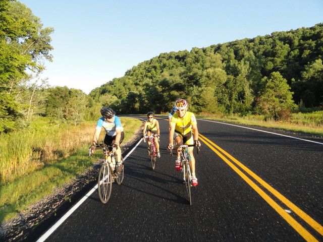
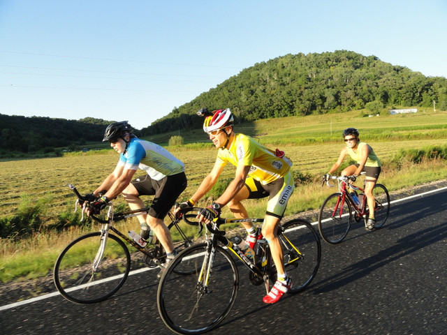
This is a very popular loop, often tackled after work by local riders. It's also a good place to start for anyone new to road biking, or to the Driftless region. It heads west across the mighty Mississippi and through the village of La Crescent before beginning a journey up the rural Pine Creek Valley. The rolling road closely follows Pine Creek (a fine trout stream) before starting a relatively gradual climb to the top of the Minnesota bluffs. After an optional stop in the small town of Nodine, the route hugs the edges of the bluffs above the Mississippi river valley and passes through apple orchards before a fast sweeping descent into La Crescent and back to La Crosse.
Detailed Route Guide
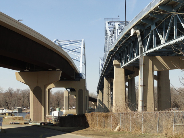
Riders depart from the North-East corner of Cameron Park and head south on 5th Ave for one block before turning right on Cass St. Heading west toward Minnesota, riders cross the "big blue bridge" over the main channel of the Mississippi River. The bridge has one-way traffic and shoulder lanes; riders may choose the sidewalk on the right if they wish to stop mid-crossing and take in the view of the river and downtown La Crosse.
Cass Street becomes Hwy 16 as it leaves town; it has a shoulder lane to the city of La Crescent. Riders should stay in the lane for through traffic at the light, then continue straight onto South 3rd Street for several blocks before turning left at the 4 way stop sign onto S. Elm St. The route heads south about 7 blocks before turning right on S. 7th St. ( Cty Hwy 6 ) This route will take them out of town and along the rolling road along Pine Creek Valley. At mile 11.8 the highway changes numbers from 6 to 5 at the county line and continues for almost three miles before turning right with Hwy 5 at the hamlet of New Hartford. The route parallels Pine Creek for almost a mile before tuning left on Co. Rd. 125 to stay with the stream until the moderate, wooded ascent to the top of the ridge and a right turn at the stop sign onto Co. Rd. 104.
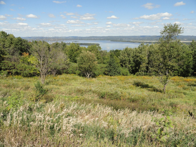
The route stays on the Minnesota highlands, parallel with the interstate, with an option stop at the new bike-friendly Kwik Trip convenience store just before the right turn onto Hwy 12. Riders stay on Hwy 12 with a left turn in the town of Nodine and continues to the right turn off of Hwy 12 and onto Hwy 1 at mile 23.2. This road -- also known as Scenic Apple Blossom Drive -- follows the ridge top next to the Mississippi river valley through many local orchards. There are many places to take in the incredible views of the Upper Mississippi River Fish and Wildlife Refuge. This viewpoint offers a view of the cities of La Crosse and Onalaska and the lock and dam at Dresbach.
The descent, known locally as North Ridge, is fast and open with sweeping curves. Riders may find themselves exceeding the speed limit at the bottom if they're not careful! Now in town, the road becomes North Elm Street. Riders stay on it until the four way stop, where they turn left and retrace their route back to La Crosse across the causeway. As on the outbound route, riders have the option of staying on the road or getting onto the path to the right when crossing the main channel of the Mississippi River across the other big blue bridge. The route ends by returning to Cameron Park.
Resources
Otras rutas de Driftless Cycling
Driftless Region's Most Scenic Ride-82 miles
Self-Supported Cycling in the Driftless Region
L-N-L (La Crescent-Nodine-La Crescent ) 58.3 Gravel
Self-Supported Cycling in the Driftless Region
Whitehall English Century-100 mile
Self-Supported Cycling in the Driftless Region
Norski Tur - 100 miles
Self-Supported Cycling in the Driftless Region
Goose Island-Stoddard, Out and Back-31 miles
Self-Supported Cycling in the Driftless Region
Baristas Epic Coffee Ride 55 mile loop
Self-Supported Cycling in the Driftless Region
Swede Bottom - 76 Gravel
Self-Supported Cycling in the Driftless Region
Hokah Hilly Hundred-66 Gravel
Self-Supported Cycling in the Driftless Region
West Salem Dairy Days Classique-66 miles
Self-Supported Cycling in the Driftless Region
Grandad Bluff Loop-23 miles
Self-Supported Cycling in the Driftless Region
Baristas Epic Coffee Ride-46 miles
Self-Supported Cycling in the Driftless Region
North East Route-62 miles
Self-Supported Cycling in the Driftless Region
Coon Valley Coulee Express-56 miles
Self-Supported Cycling in the Driftless Region
Stoddard - Chaseburg loop - 38 miles
Self-Supported Cycling in the Driftless Region
Ridgeway Rampage - 56 Gravel
Self-Supported Cycling in the Driftless Region
Middle Ridge Ramble-58 miles
Self-Supported Cycling in the Driftless Region