Ashland two loop 8.16.23 |

|
Ashland, MS, US


ルートの概要
Gary Patrick
Gravel
73
km
889
m
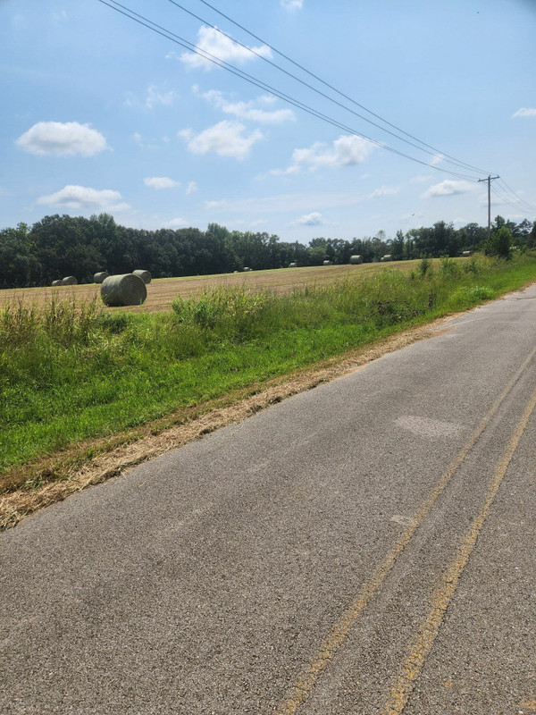
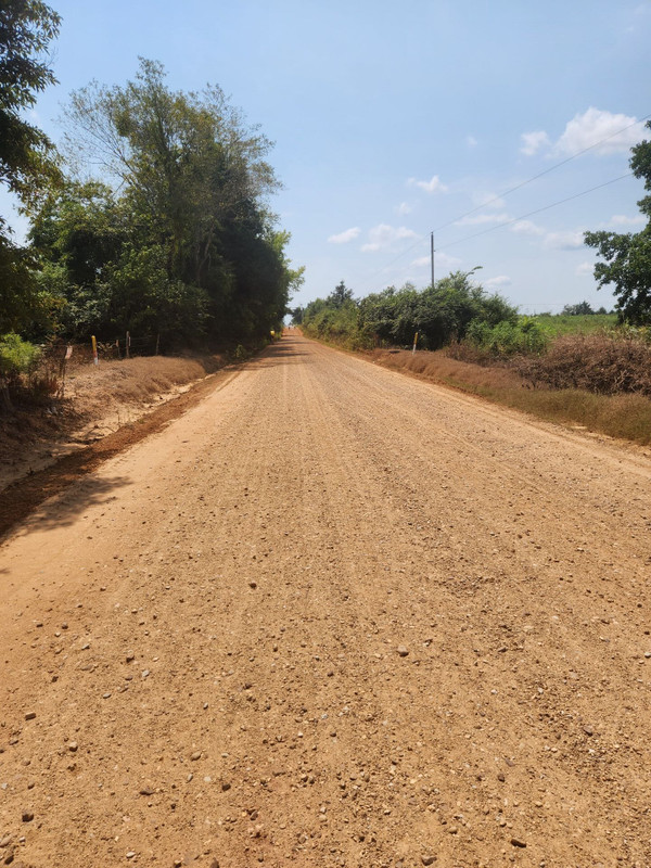
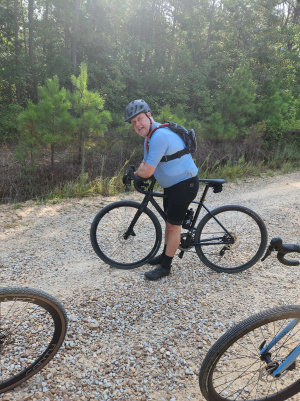
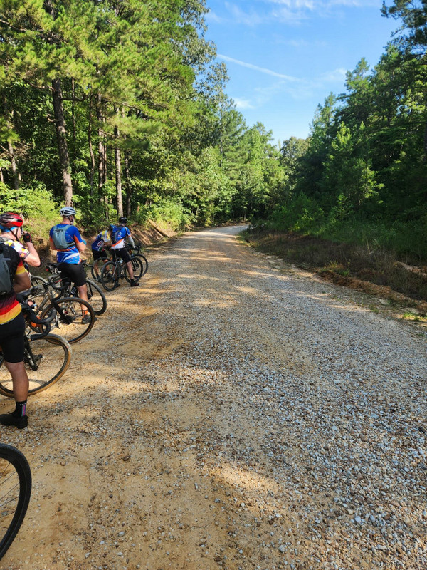
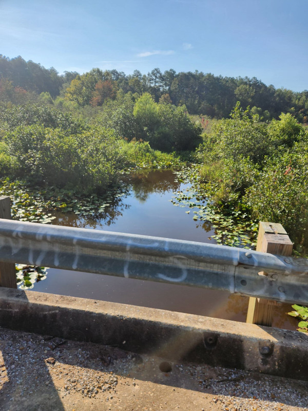
A fairly paved flat start for about 3 miles then onto chunky chip seal, medium limestone gravel to the standard Mississippi sandy, gravel hard pack roads of the Holly Springs National Forest. Today, it was apparent that a lot of grading has been going on as there was loose gravel and blade scrapes everywhere. There was 2900 feet total elevation and 9 miles of pavement out of 45. The town of Ashland, Mississippi, was the start and finish. The route started and ended with pavement sections and moderate elevation for the start for a change.
ルートの詳細
Get Inspired, Not Lost. © 2026 Ride with GPS.
利用規約
プライバシーポリシー