Three Sisters Three Rivers - Limberlost

Bend, OR, US

Route Overview

Limberlost

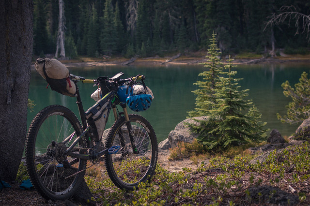
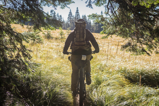
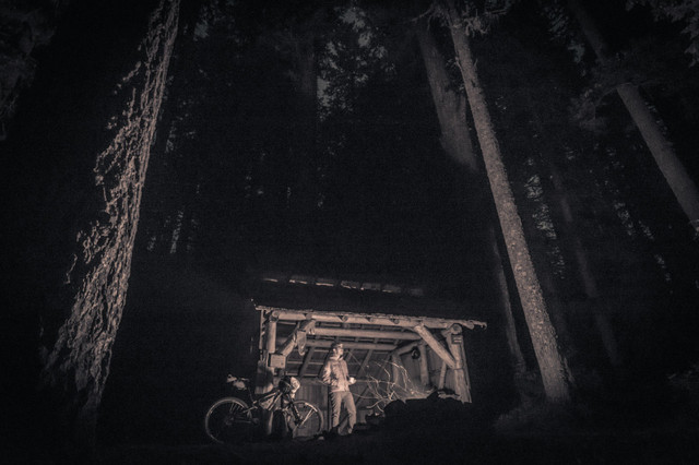
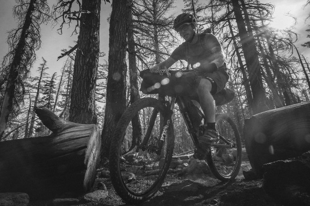
Bike adventures off the beaten path.

324 mi.
26,947 ft.

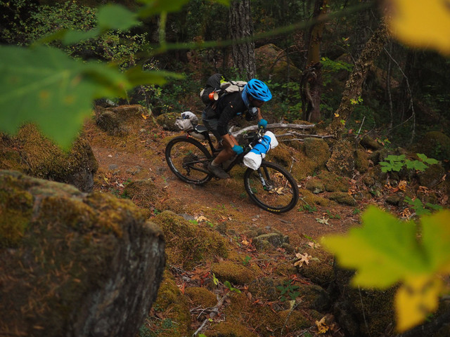
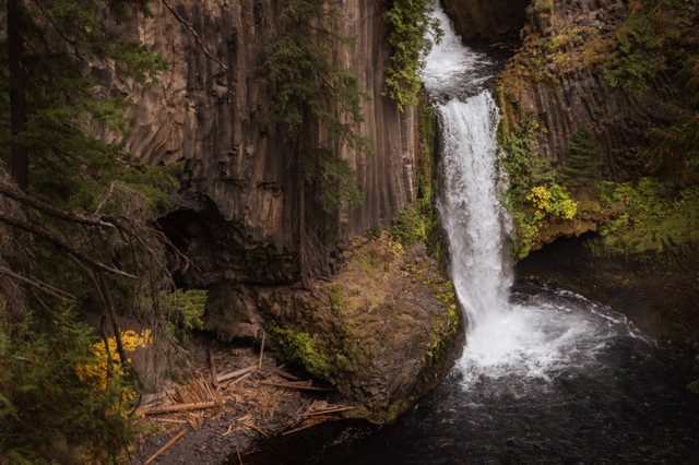
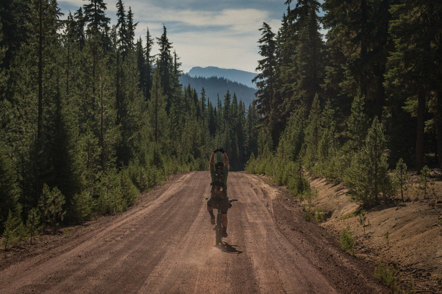
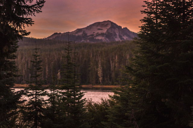
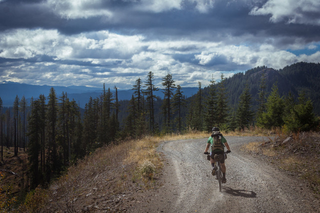
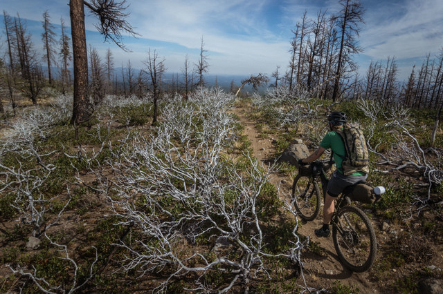
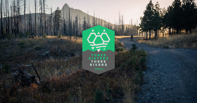
The Three Sisters Three Rivers route connects the three famous Oregon river MTB trail systems—McKenzie, Oakridge, & Umpqua—to the other side of the Cascade Range. It travels from the dry desert forest trails of Bend and Sisters to the hot springs and alpine ridges of the Upper Willamette to the lush, western flanks of the Calapooya Range and blue pools and hot springs of the North Umpqua.

BLUE = Singletrack
PINK = Dirt
RED = Paved

Route Details

Looking at the route's meandering squiggle on a map doesn't tell its rugged and beautiful story. What makes this route unique is the mountain bike trail systems and terrain it links up. Three Sisters Three Rivers is ambitious. It covers loose, sandy ponderosa terrain outside of Bend, Oregon and the lush, wet, mossy trails of the North Umpqua River. It covers over 300 miles—the vast majority of which are on singletrack. Not gravel roads, not forest service roads, not ATV trails, but singletrack. And not any singletrack.

Climbing 27,000′ and descending cliff-hugging technical singletrack, this route challenges the most stalwart rider. Secluded campsites on glacier-fed lake shores, hot springs, and volcanic flows make it an instant classic. See stunning views of the Three Sisters from the east, north, west, and south. Knock off five of the best trail systems Oregon has to offer!

  • When Bike Magazine needed a location to test 36 of the year’s best bikes where did it come? Bend.
  • What community hosts the largest mountain bike race in Oregon? Sisters.
  • What trail was named the best in the US in 2008? McKenzie River Trail.
  • What community did IMBA designate as one of the top 10 ride centers in the world? Oakridge.
  • What Oregon trail has received one of the highest honors possible, IMBA Epic status? North Umpqua Trail.

We’ve spent years getting lost in Central Oregon’s vast National Forests finding little-traveled trails and long-forgotten historic wagon roads linking up each of these stupendous trails. Each one is a worthy destination. On the Three Sisters Three Rivers route not only will you sample each one, but you’ll connect the dots between them.

Highlights:

Must Know:

  • Suggested length: 8-12 days
  • 90% unpaved, 60% singletrack
  • Great all summer long, snow lingers through mid June in the passes, and flurries start flying in September.
  • Most trails are signed but being confident with GPS navigation is a must. Paper maps for the whole route would be cumbersome.
  • The route is not a loop. Contact Cog Wild for shuttles to the start and to be picked up. The Breeze bus from Portland to Bend requires your bike be boxed.
  • Contact Crows Feet Commons in Bend for info on where to park and local trail beta.
  • You'll get sick of singletrack, trust us. There are alternate (paved) options along most of the route if you need to bail.

Camping and Lodging:

  • Most campgrounds are marked on the map (of which there are many) but there are even more bushcamp options along the route. Practice Leave No Trace ethics when camping anywhere.
  • There are many rustic shelter options along the route. Most are infrequently occupied and don't require a reservation. And are quite rustic.

Food / H2O:

  • Even late in a dry summer we had no problem finding water on the route. (ahem: "Three Rivers") Be smart about when you fill up. Elk Camp Shelter does not have a reliable water source so load up 5-10 miles before you reach camp.
  • There are many (limited) food re-supply points along the route. (noted on the map) Some have weird hours and strange selections but you won't starve. If planned smartly you won't need to carry more than 2 days worth at any time.
  • Don't miss Spork and Chow in Bend, Melvin's in Sisters, and Brewer's Union Local 180 in Oakridge.

Trail Notes:

  • We took 8 days to ride the route. Logistically it was a good length, but we both wish we had taken a rest day in Oakridge. Our shortest day (20 miles up the Middle Fork) was one of the toughest. Our longest day (North Umpqua Trail) should have been split up into two days even though it was "all downhill."
  • There's a fair bit of climbing overall, but for as much downhill singletrack riding you get it's really not bad. The two heinous climbs are the Indian Ridge climb between the McKenzie and Oakridge, and the Stairway to Hell climb to Timpanogas Lake.
  • 90% of the route is unpaved, 60% is singletrack. This is slower and harder than you think. Some of it is really good, fast, flowy singletrack; some is gnarly, steep, overgrown, and technical singletrack. Reassess your expectations.
  • Some trails are not kept up as frequently as others. Expect downed trees, burned forests, re-routes, elk stampedes, or mud slides at least three times each day.
  • There are a few double digit climbs, and a few log bridges or creek hops, but overall there aren't any sustained pushwhacking legs.

Other routes by Limberlost