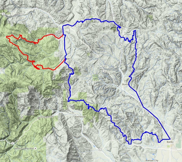
The Timber Logjam |

|
Route-overzicht
Bikedancing and Routecraft
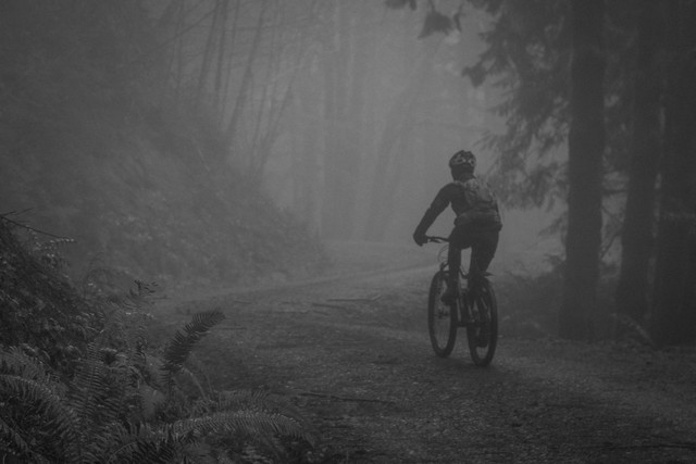
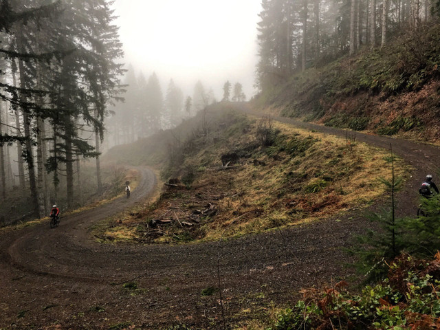
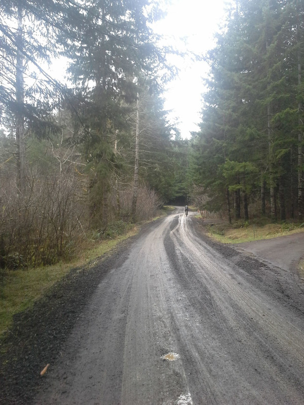
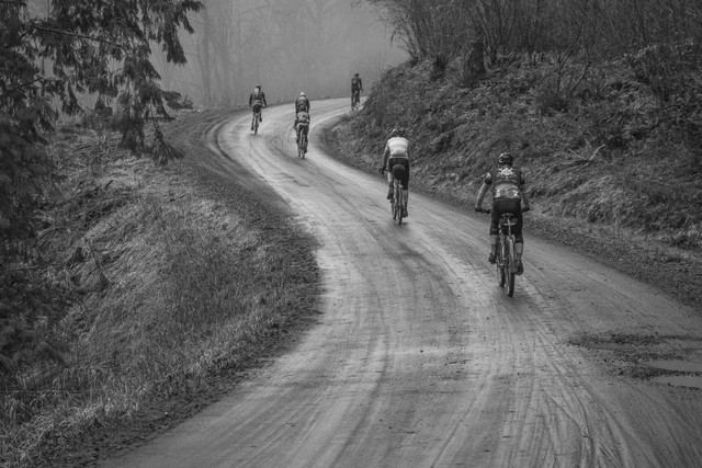
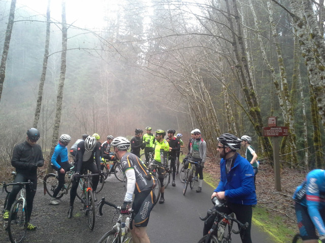
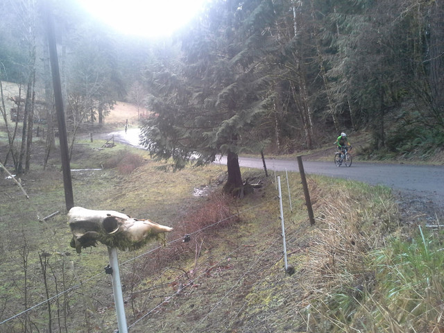
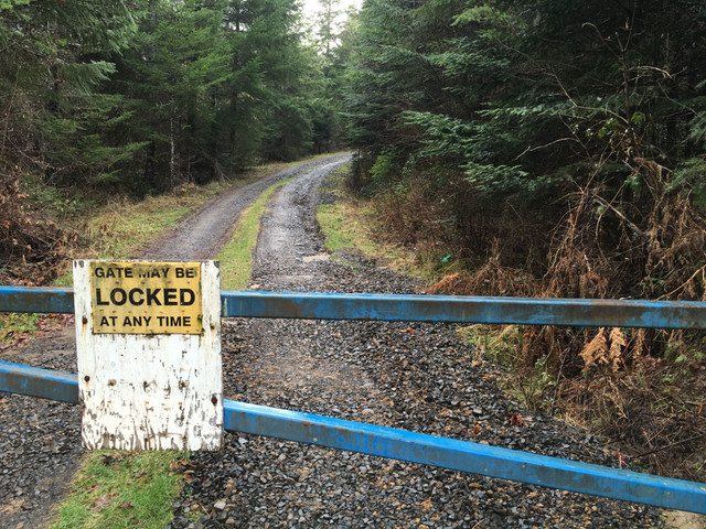
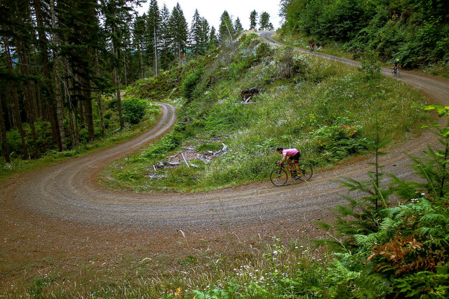
A challenging mixed terrain route taking in smooth trails, dirt roads, hidden single track and forgotten forest roads.
Routedetails
Andere routes van Our Mother The Mountain
St. Helens Eastside: Windy Ridge via NF-25 - NF-99
Bikedancing and Routecraft
Steady elevation gain, sweeping S-curves and lush birch forests transition to stark, rocky, ravag... more
Steady elevation gain, sweeping S-curves and lush birch forests transition to stark, rocky, ravaged alpine landscapes of truly epic scale as NF-99 snakes along the barren eastside ridges of the St. Helens blast zone.
Route format: out-and-back
Surface: 100% paved
Gearing: standard road
Tires: 23c-25c
Bike: road (less)
Steady elevation gain, sweeping S-curves and lush birch forests transition to stark, rocky, ravaged alpine landscapes of truly epic scale as NF-99 snakes along the barren eastside ridges of the St. Helens bl...more
Steady elevation gain, sweeping S-curves and lush birch forests transition to stark, rocky, ravaged alpine landscapes of truly epic scale as NF-99 snakes along the barren eastside ridges of the St. Helens blast zone.
Route format: out-and-back
Surface: 100% paved
Gearing: standard road
Tires: 23c-25c
Bike: road (less)
Mt. Hood: Barlow to Bonney to Bennett
Bikedancing and Routecraft
This rugged and spectacular traversal of Mt. Hood's southeast quadrant offers a rewarding cross-s... more
This rugged and spectacular traversal of Mt. Hood's southeast quadrant offers a rewarding cross-section of challenging terrain from the shady loam of Barlow Road to the high alpine ridges of Bennett Pass. Merging the disciplines of road, gravel and mountain riding, this route includes rocky fire roads, primitive jeep trails, river crossings, hardpacked gravel, butter-smooth tarmac and everything in between. (less)
This rugged and spectacular traversal of Mt. Hood's southeast quadrant offers a rewarding cross-section of challenging terrain from the shady loam of Barlow Road to the high alpine ridges of Bennett Pass. M...more
This rugged and spectacular traversal of Mt. Hood's southeast quadrant offers a rewarding cross-section of challenging terrain from the shady loam of Barlow Road to the high alpine ridges of Bennett Pass. Merging the disciplines of road, gravel and mountain riding, this route includes rocky fire roads, primitive jeep trails, river crossings, hardpacked gravel, butter-smooth tarmac and everything in between. (less)
Rowena Ridgerunner
Bikedancing and Routecraft
THIS FORMIDABLE COLUMBIA RIVER GORGE ROUTE LOOPS THE BEST PAVEMENT OF HOOD RIVER, THE DALLES AND ... more
THIS FORMIDABLE COLUMBIA RIVER GORGE ROUTE LOOPS THE BEST PAVEMENT OF HOOD RIVER, THE DALLES AND MOSIER INTO A COLOSSAL FIGURE-EIGHT OF EPIC CLIMBS, LEGENDARY DESCENTS AND POSTCARD VIEWS. (less)
THIS FORMIDABLE COLUMBIA RIVER GORGE ROUTE LOOPS THE BEST PAVEMENT OF HOOD RIVER, THE DALLES AND MOSIER INTO A COLOSSAL FIGURE-EIGHT OF EPIC CLIMBS, LEGENDARY DESCENTS AND POSTCARD VIEWS.
THIS FORMIDABLE COLUMBIA RIVER GORGE ROUTE LOOPS THE BEST PAVEMENT OF HOOD RIVER, THE DALLES AND MOSIER INTO A COLOSSAL FIGURE-EIGHT OF EPIC CLIMBS, LEGENDARY DESCENTS AND POSTCARD VIEWS. (less)
Japanese Hollow
Bikedancing and Routecraft
HIGH COUNTRY LUXURY GRAVEL + BACKROAD RAMBLING
HIGH COUNTRY LUXURY GRAVEL + BACKROAD RAMBLING (less)
HIGH COUNTRY LUXURY GRAVEL + BACKROAD RAMBLING
HIGH COUNTRY LUXURY GRAVEL + BACKROAD RAMBLING (less)
Bikedancing and Routecraft
Pristine forests, dense verdant valleys and quiet birch-lined creeks characterize this concise Co... more
Pristine forests, dense verdant valleys and quiet birch-lined creeks characterize this concise Coast Range loop through the Tillamook State Forest. Don't let the mellow purlieu fool you however, this is a bona fide climber's route, gaining 5700 feet over a relatively succinct 46 miles. (less)
Pristine forests, dense verdant valleys and quiet birch-lined creeks characterize this concise Coast Range loop through the Tillamook State Forest. Don't let the mellow purlieu fool you however, this is a bo...more
Pristine forests, dense verdant valleys and quiet birch-lined creeks characterize this concise Coast Range loop through the Tillamook State Forest. Don't let the mellow purlieu fool you however, this is a bona fide climber's route, gaining 5700 feet over a relatively succinct 46 miles. (less)
Cloud Cap Out-n-Back
Bikedancing and Routecraft
Cloud Cap is the pure essence of Mt. Hood gravel climbing packed into 20 spectacular miles. Ten m... more
Cloud Cap is the pure essence of Mt. Hood gravel climbing packed into 20 spectacular miles. Ten miles up. Ten miles down. Ten sets of epic switchbacks. Short, sweet and gnarly. It's almost as simple as that. (less)
Cloud Cap is the pure essence of Mt. Hood gravel climbing packed into 20 spectacular miles. Ten miles up. Ten miles down. Ten sets of epic switchbacks. Short, sweet and gnarly. It's almost as simple as that.
Cloud Cap is the pure essence of Mt. Hood gravel climbing packed into 20 spectacular miles. Ten miles up. Ten miles down. Ten sets of epic switchbacks. Short, sweet and gnarly. It's almost as simple as that. (less)
Mill Creek Ridge
Bikedancing and Routecraft
MILL CREEK RIDGE IS A TRULY SINGULAR, SOMETIMES OTHERWORLDLY CROSS SECTION OF SHIFTING SIGHTLINES AND UNDULATING ATMOSPHERES.
MILL CREEK RIDGE IS A TRULY SINGULAR, SOMETIMES OTHERWORLDLY CROSS SECTION OF SHIFTING SIGHTLINES AND UNDULATING ATMOSPHERES. (less)
The Holy Mountain
Bikedancing and Routecraft
THE HOLY MOUNTAIN IS A 47 MILE MIXED-TERRAIN GRAVEL + SINGLETRACK LOOP WHICH CLIMBS 5356 FEET OVER THE SOUTH AND WEST SIDES OF WY'EAST.
THE HOLY MOUNTAIN IS A 47 MILE MIXED-TERRAIN GRAVEL + SINGLETRACK LOOP WHICH CLIMBS 5356 FEET OVER THE SOUTH AND WEST SIDES OF WY'EAST. (less)

