FCH1_The Falls Creek Hinterland V1 |

|
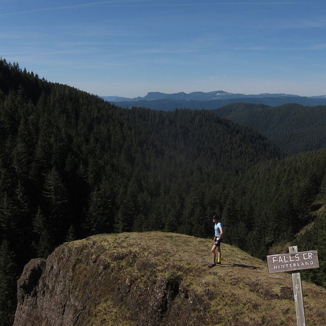
Carson, WA, US

Routenübersicht
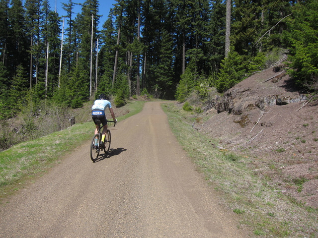
Unpaved
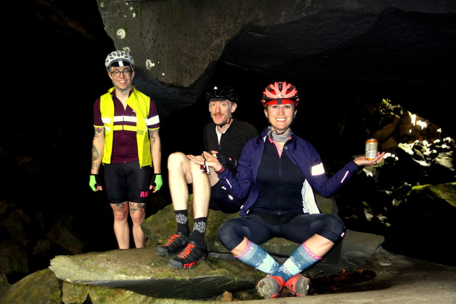
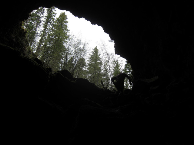
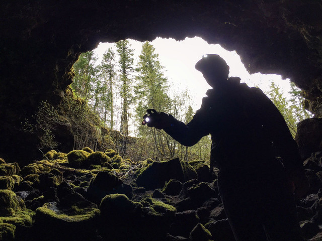
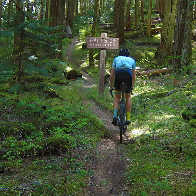
Picking up where the Goonies left off
122
km
2.470
m
A wonderland introduction to the southern Gifford Pinchot National Forest.
Tire: 38c+ for the complete route including the Falls Creek trail. Overall road conditions are very smooth except for the trail which contains some technical features.
Red: Pavement
Brown: Gravel
Yellow: Singletrack
Routendetails
Andere Routen von Unpaved
Get Inspired, Not Lost. © 2026 Ride with GPS.
Nutzungsbedingungen
Datenschutzrichtlinie