Tumala Tank Trap |

|
Panoramica del percorso
Picking up where the Goonies left off
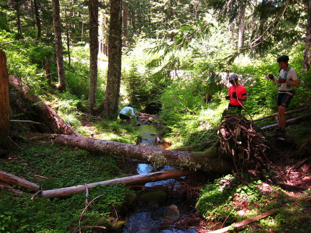
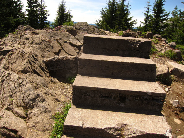
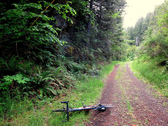
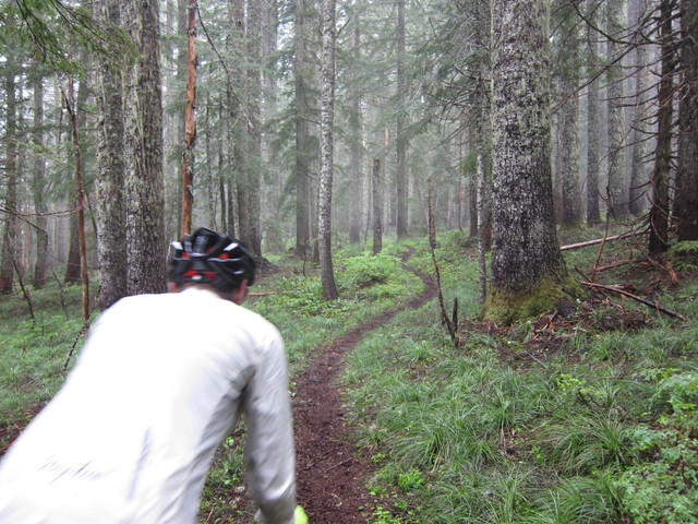
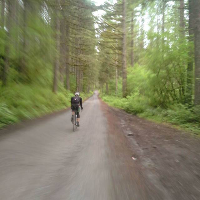
The Tumala Tank Trap is a mixed-discipline affair and a rather challenging one at that. Blending equal parts road, gravel/dirt and technical mountain bike terrain, TTT offers the rare opportunity to ride 100% to the summit of Tumala Mountain and over the other side... This ride was originally plotted by OMTM for our 2016 ride series.
Dettagli del percorso
Altri percorsi di Unpaved
Bacona Backroads
Picking up where the Goonies left off
Experience the old gravel roads, lost connections and forgotten homesteads of Washington County. Gearing: 34 x 28 Tire: 32c+ Bike: Cross or Gravel
Experience the old gravel roads, lost connections and forgotten homesteads of Washington County.
Gearing: 34 x 28
Tire: 32c+
Bike: Cross or Gravel (less)
DSBP1_The Dark Side of Bald Peak
Picking up where the Goonies left off
A tough but very scenic route showcasing the best of the Bald Peak's gravel backroads. Gearing: 34 x 28 Tire: 25c+ Bike: Road or Cross
A tough but very scenic route showcasing the best of the Bald Peak's gravel backroads.
Gearing: 34 x 28
Tire: 25c+
Bike: Road or Cross (less)
Ripplebrook Backroads v1
Picking up where the Goonies left off
A beautiful route combining smooth forest roads, gravel and singletrack.
A beautiful route combining smooth forest roads, gravel and singletrack. (less)
A beautiful route combining smooth forest roads, gravel and singletrack.
A beautiful route combining smooth forest roads, gravel and singletrack. (less)
FCH1_The Falls Creek Hinterland V1
Picking up where the Goonies left off
A wonderland introduction to the southern Gifford Pinchot National Forest. Tire: 38c+ for the ... more
A wonderland introduction to the southern Gifford Pinchot National Forest.
Tire: 38c+ for the complete route including the Falls Creek trail. Overall road conditions are very smooth except for the trail which contains some technical features.
Red: Pavement
Brown: Gravel
Yellow: Singletrack (less)
A wonderland introduction to the southern Gifford Pinchot National Forest. Tire: 38c+ for the complete route including the Falls Creek trail. Overall road conditions are very smooth except for the trail w...more
A wonderland introduction to the southern Gifford Pinchot National Forest.
Tire: 38c+ for the complete route including the Falls Creek trail. Overall road conditions are very smooth except for the trail which contains some technical features.
Red: Pavement
Brown: Gravel
Yellow: Singletrack (less)
Palmer Mill Expedition
Picking up where the Goonies left off
Meandering up the old dirt roads of Larch Mountain in the Columbia Gorge. 2019 UPDATE: IMPORTAN... more
Meandering up the old dirt roads of Larch Mountain in the Columbia Gorge.
2019 UPDATE: IMPORTANT UPDATE…PALMER MILL ROAD NO LONGER CONNECTS THROUGH TO THE LARCH MOUNTAIN WINTER GATE. BRIDAL VEIL CREEK HAS BEEN REROUTED OVER THE FORMER ROADBED AND PALMER MILL IS NOW IMPASSIBLE BEYOND THE CREEK CROSSING.
Gearing: 34 x 28
Tire: 25c+
Bike: Road or Cross (less)
Meandering up the old dirt roads of Larch Mountain in the Columbia Gorge. 2019 UPDATE: IMPORTANT UPDATE…PALMER MILL ROAD NO LONGER CONNECTS THROUGH TO THE LARCH MOUNTAIN WINTER GATE. BRIDAL VEIL CREEK HAS ...more
Meandering up the old dirt roads of Larch Mountain in the Columbia Gorge.
2019 UPDATE: IMPORTANT UPDATE…PALMER MILL ROAD NO LONGER CONNECTS THROUGH TO THE LARCH MOUNTAIN WINTER GATE. BRIDAL VEIL CREEK HAS BEEN REROUTED OVER THE FORMER ROADBED AND PALMER MILL IS NOW IMPASSIBLE BEYOND THE CREEK CROSSING.
Gearing: 34 x 28
Tire: 25c+
Bike: Road or Cross (less)
Beyond Pumpkin Ridge
Picking up where the Goonies left off
This route makes the connection over Pumpkin Ridge to Skyline via the gated gravel Smoke Ranch Road. ~11 miles of gravel Gearing: 39 x 28 Tire: 28c Bike: Road or Cross
This route makes the connection over Pumpkin Ridge to Skyline via the gated gravel Smoke Ranch Road.
~11 miles of gravel
Gearing: 39 x 28
Tire: 28c
Bike: Road or Cross (less)
HOTNP03_Endurance
Picking up where the Goonies left off
A mixed terrain adventure route from North Plains, Oregon. Showcases some of the best paved, dirt... more
A mixed terrain adventure route from North Plains, Oregon. Showcases some of the best paved, dirt, crumbling, and forgotten roads in Washington County. This ride was originally plotted by Unpaved and OMTM for our 2016 ride series.
38c+ (less)
A mixed terrain adventure route from North Plains, Oregon. Showcases some of the best paved, dirt, crumbling, and forgotten roads in Washington County. This ride was originally plotted by Unpaved and OMTM fo...more
A mixed terrain adventure route from North Plains, Oregon. Showcases some of the best paved, dirt, crumbling, and forgotten roads in Washington County. This ride was originally plotted by Unpaved and OMTM for our 2016 ride series.
38c+ (less)
ORC Adventure Tour
Picking up where the Goonies left off
ORC (Oregon Cascades) Adventure Tour. The goal of this route was to make a ~38c smooth tire co... more
ORC (Oregon Cascades) Adventure Tour.
The goal of this route was to make a ~38c smooth tire compatible passage down the Cascades on both the western and eastern sides. While there are some trails, lots of gravel, there's also quite a bit of nice smooth pavement of the single lane variety. That said, there are extremely rough sections and a bit of sand as well. Some sections are difficult -- especially on skinny-ish tires. Despite this, given the overall scope I would do it again on a cross / rando bike or similar setup. A mountain bikepacking setup is a little overkill - but would certainly open up more rough potential on the trails. (less)
ORC (Oregon Cascades) Adventure Tour. The goal of this route was to make a ~38c smooth tire compatible passage down the Cascades on both the western and eastern sides. While there are some trails, lots of...more
ORC (Oregon Cascades) Adventure Tour.
The goal of this route was to make a ~38c smooth tire compatible passage down the Cascades on both the western and eastern sides. While there are some trails, lots of gravel, there's also quite a bit of nice smooth pavement of the single lane variety. That said, there are extremely rough sections and a bit of sand as well. Some sections are difficult -- especially on skinny-ish tires. Despite this, given the overall scope I would do it again on a cross / rando bike or similar setup. A mountain bikepacking setup is a little overkill - but would certainly open up more rough potential on the trails. (less)

