Lostine/ Wallowa Barn Loop |
![]() |
Be Happy, Be Healthy, Make a Difference.
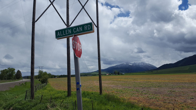
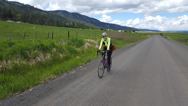
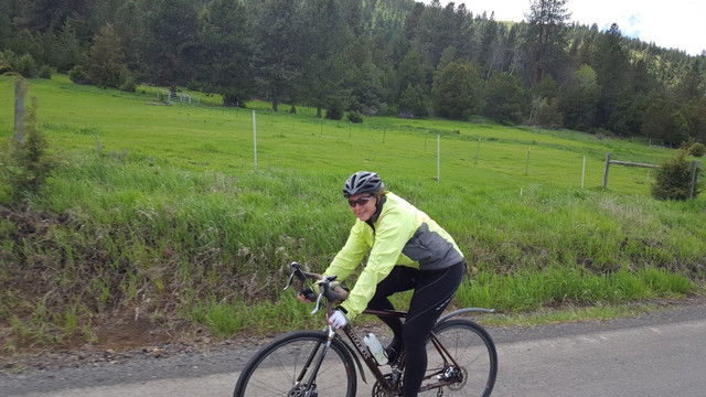
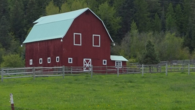
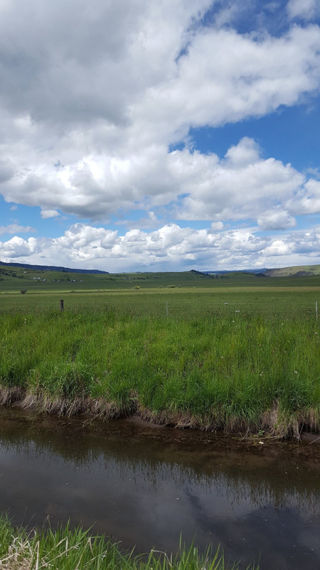
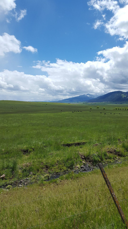
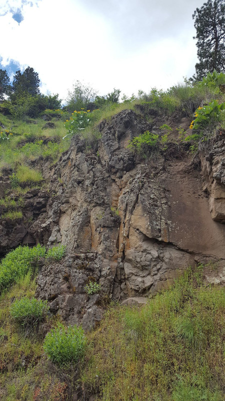
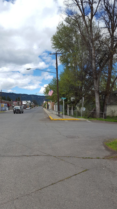
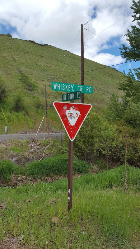
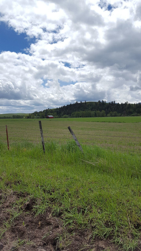
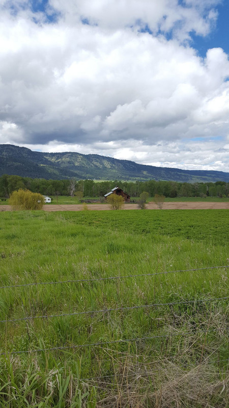
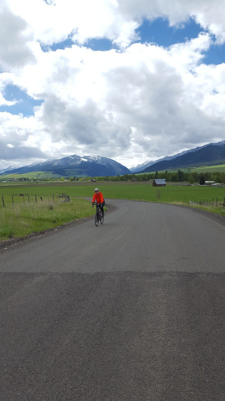
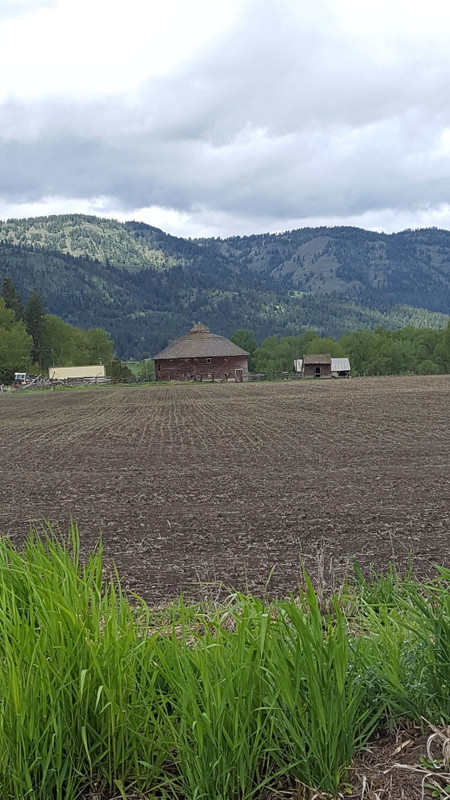
Late spring and fall are stupendous times to beat the dust and explore Wallowa County on variable surfaces. Many of the more picturesque draws and rolling hills contain wandering isolated access roads sporting a patchwork of paved, compacted dirt and gravel surfaces. This is one such wonderful barn littered 17-mile loop.
Wallowa County hosts a small number of paved roads making circular road cycling routes a challenge to find. However, late spring and fall are stupendous times to beat the dust and explore Wallowa County on variable surfaces. Many of the more picturesque draws and rolling hills contain wandering isolated access roads sporting a patchwork of paved, compacted dirt and gravel surfaces. One such wonderful barn littered 17-mile loop begins just north of Lostine, Oregon on Warnock Road.
Warnock Road, infrequently driven but paved, gradually flows from Lostine towards Wallowa. Within the first few pedal strokes, riders are rewarded by the first and probably most noteworthy barn on the route. Meer yards from the old Wallowa Lake Highway, sits a true circular barn. Round barns were popular in the late 1800’s because they used less building material and were touted as being highly efficient. Now they stand out in the landscape because though they were thought to be more efficient and superstitiously sublime, the change to mechanized farming, and standards of construction made them obsolete. The rarity of intact round barns has led to a round barn registry and excitement to tell each barn’s story when they are located. The small round barn on Warnock Road is not registered but a similar one in Frenchglen, Oregon is. Peter French and several other cattlemen in the area used the round barn design to spend the long inclement winters training horses. Judging from the importance of well-trained and bred equine in Wallowa County I suspect that the Warnock Road barn was put to similar use.
Continue to relish the undulating Warnock Road and its hidden treasures. Approximately one mile into the ride, be sure to turn back and look south for an eye full of at least three barns, emerald pastures and Lostine Canyon as it splits Ruby Peak and Huckleberry Mountain, both which tower over 4500 feet above the road bed. Enjoy the first four smooth miles of riding before spinning west on Jim Town Road. Jim Town Road hosts a mile section of gravel road and multiple barns before becoming paved and veering into Whiskey Creek Road. Persist west on Whiskey Creek Road flowing into the city of Wallowa, past the Wallowa Band Nez Perce Trail Interpretative Center. The WBNPTIC has a couple of majestic gates, statues and several kiosks telling snippets of the story of Young Chief Joseph and the Nez Pierce in their aboriginal lands. The most intriguing part of what goes on at the site is the Annual Tamkeliks Celebration, which takes place in July.
Appreciate the delightful Wallowa downtown with its pocket park by the library, Hayes Art Gallery, Pit Stop BBQ, Farmers Market and more. Leave Wallowa traveling southeast on Oregon Highway 82, back towards Lostine. Veer south on the graveled Sherrod Road, just prior to the pretty prairie style red barn with the Texaco sign and old pickup out front. The next four miles are on gravel but the Clear Water Ditch keeps you company as well as the sassy horses, beautiful barns, wildflower, Juniper trees and waving grasses. While the overall riding surface on this section is smooth, varied road surfaces are more fun when tackled by bicycles with wider, more rugged tires. Bicycles that fall into this category are; cross, dual sport, gravel and mountain bikes.
Turn south on Allen Canyon Loop and regain almost three hundred feet of elevation in a little over a mile of paved pedaling. At the top of the climb, next to yet another statuesque big red barn, Allen Canyon continues into the national forest, as does the gravel Allen Canyon Road. Stay on the paved Allen Canyon Loop unless you are really in for a grand gravel adventure that most likely ends back in Wallowa.
Grin and sweep back towards the Lostine River. Keep an eye on the nearby hillside for mine tailings and the remnants of the gold rush that originally beckoned a large number of settlers into this stunning area. Savor a few more barns before turning east on Highway 82, the Wallowa Lake Highway, to gradually climb back to the town of Lostine. The old lumber and sheepherding town is interesting to poke around in and holds a town wide flea market once a year to bring everyone out of the woodwork.