Seattle to Portland

Seattle, WA, US

Route Overview

203 mi.
5,147 ft.

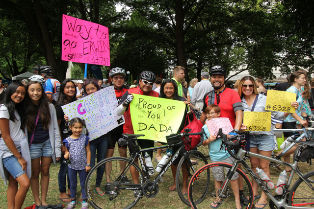
This 200+ mile bicycle ride is the largest multi-day bicycle event in the Northwest, with up to 10,000 participants riding from Seattle to Portland in one or two days. The route takes you through the scenic valleys, forests, and farmlands of western Washington and Oregon. Come ride what Bicycling Magazine has listed as one of the best cycling events in the nation!

Route Details

Kaiser Permanente STP Presented by Alaska Airlines

Saturday, July 15 - Sunday, July 16

Paid event with ride fees supporting Cascade Bicycle Club and WA Bike's education and advocacy work Register online here - $135 - 155. Includes full route support with route marking, support vehicles, mechanical support, luggage transport, rest stops, and a complimentary meal at the event finish line.

Participation is limited to 10,000 riders. Route can be completed in one or two days

The best way to approach this 200+ mile ride is in 50 mile sections. This will make the entire distance more manageable and easier to conquer this very challenging ride. All the roads and trails STP uses are open to traffic and riders need to obey the rules of the road.

First 50 miles - Seattle to Spanaway

The STP starts with a very early am start from the University of Washington E-1 parking lot and takes you out of Seattle over the University bridge on residential streets down to Lake Washington Blvd. to Seward Park. The roads on this section are in fair condition but the views can be spectacular along Lake Washington. This is the most crowded section of the ride, so use caution and watch out for road hazards and other riders. The first mini stop is at Seward Park just before the first climb of the day. Not steep but about ½ mile long. The route continues through Renton and Kent on flat roads. The first major stop is in Kent at the REI headquarters with plenty of provisions to keep you going. The route follows the valley roads to Puyallup, where you have another mini stop before you take on “The Hill” – AKA the biggest hill on the entire route. This is a 1 mile climb that averages 7% grade. Once over the climb the route continues on flat roads into the major food stop at Spanaway Middle School.

Second 50 miles – Spanaway to Centralia

This 50 miles section is very flat on rural roads and highways. From Spanaway to Roy you will encounter a section of road that will take your full attention because the fog line has a rumble strip cut into it that makes it difficult to pass. Use caution and have a firm grip on the bars when crossing the fog line. There be some will be mini stops in Roy, McKenna, Yelm and Tenino before you reach the mid-point at Centralia College. In Yelm you will get on a bike trail that will take you to Tenino. Make sure to use caution where the trail intersection with roads. The trail bollards have been removed but there are cones placed over the raised post holes. Official mid-point at Centralia College with 30 acres of camping space, 200+ showers, food vendors, a full cafeteria, television viewing areas (broadcasting the Tour de France for inspiration) and parking for RV and support vehicles. Additional lodging available between Centralia and Kelso including free tent camping and paid indoor options.

Third 50 miles – Centralia to Lexington

This 50-mile section seems to be the toughest with the rolling hills from Chehalis to Napavine that are very taxing on tired legs. The route uses rural one lane highways with good road surfaces. Make sure to ride single file as much as possible to allow vehicles and other riders plenty of room to pass. You will hit mini stops at Chehalis, Napavine, Castle Rock, Vader and Winlock, site of the world’s largest egg. The major food stop is in Lexington. Get fueled up and ready to tackle the crossing of the Columbia River over the Lewis and Clark Bridge. For the two-day riders you will be escorted over the bridge in large groups. Don’t get distracted by the view because the bridge has some metal expansion joints that will take your full attention. Once over the bridge you are now into Oregon!

Final 50 miles – Lexington to Portland

The last 50-mile section uses the relatively flat highway 30 which is a busy road with a good shoulder. At this point of the ride you are typically pretty tired, so the lack of technical riding can be a blessing. You will have a mini stop at Goble and then the last major stop at St. Helen’s High School and one more mini stop in Scappoose before you head up the last climb of the route to cross the historic St. John’s bridge. Once over the bridge the last 10 miles of the route is on residential roads before entering the high traffic areas of Northeast Portland. The finish line festival is in Holladay Park that is in the heart of Northeast Portland. Enjoy the party! You deserve it after riding 200+ miles.

For a more detailed outline of all the services you can view ride guide.

Other routes by Cascade Bicycle Club