Upper Tampa Bay & Causeway Trails Route |

|
Tampa, St. Petersburg, Clearwater, FL, US


Route Overview
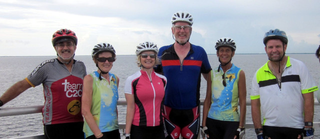
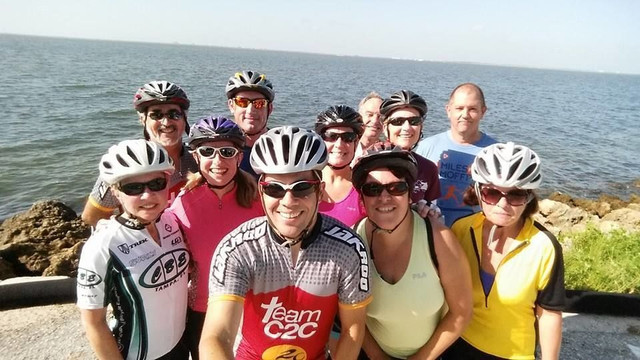
Craig Hickson – Team C2C
Tampa area bicycling routes and rides
75
km
99
m
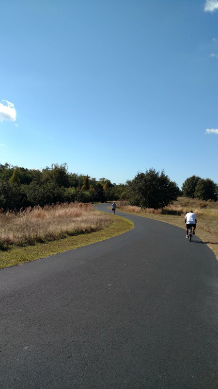
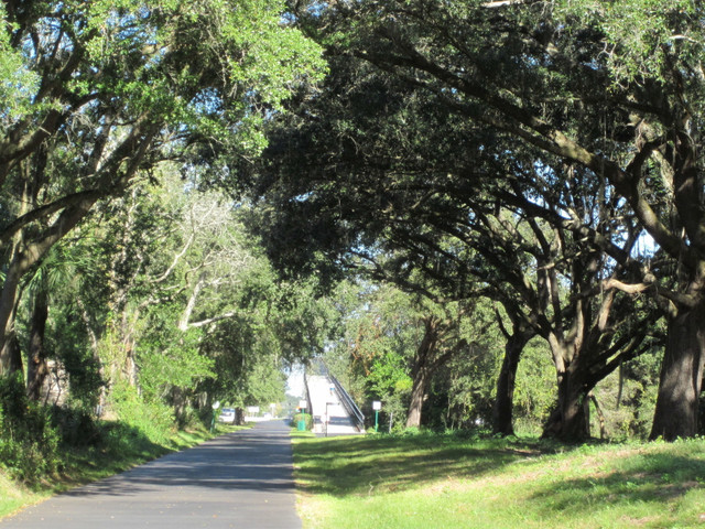
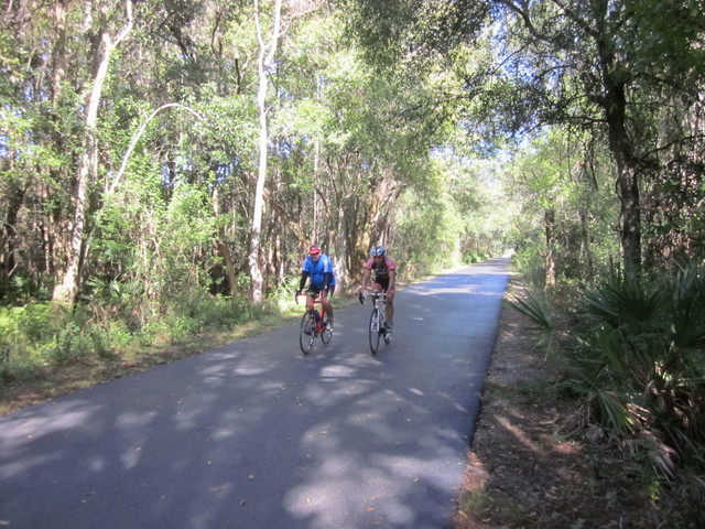
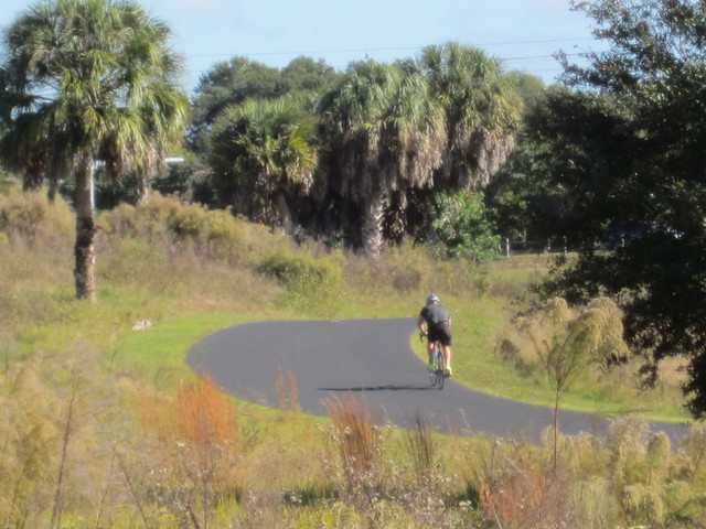
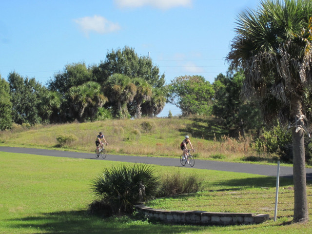
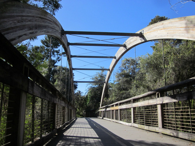
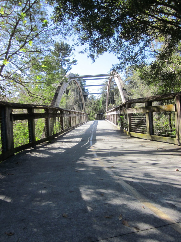
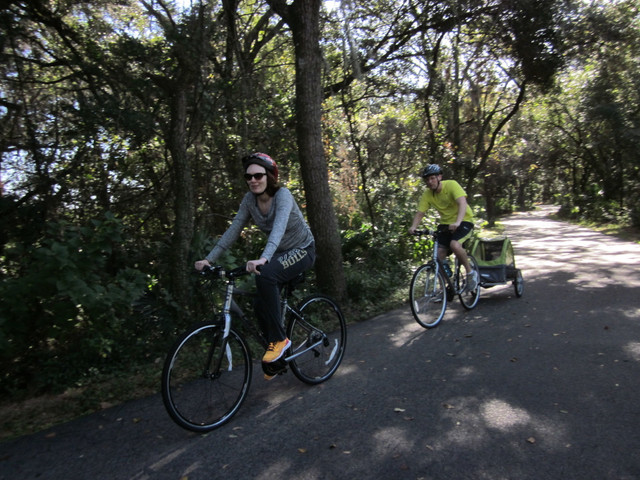
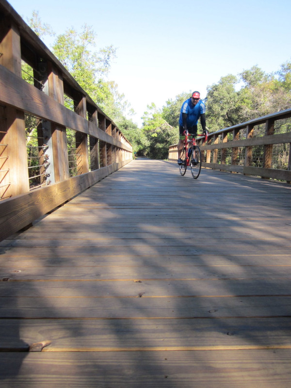
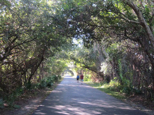
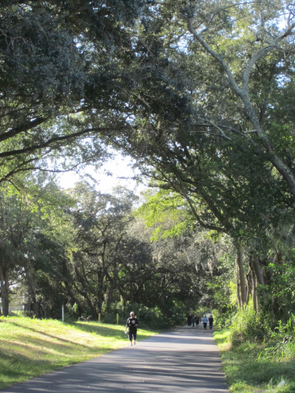
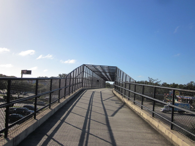
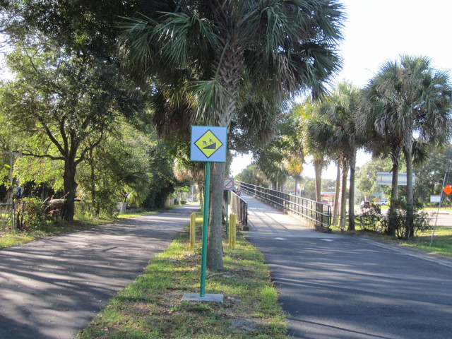
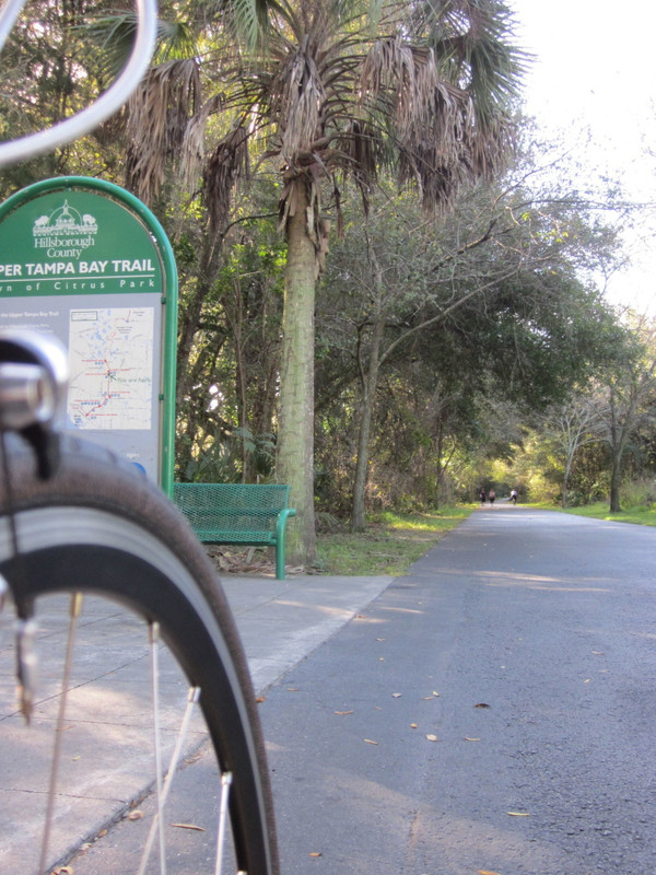
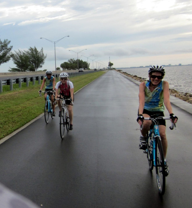
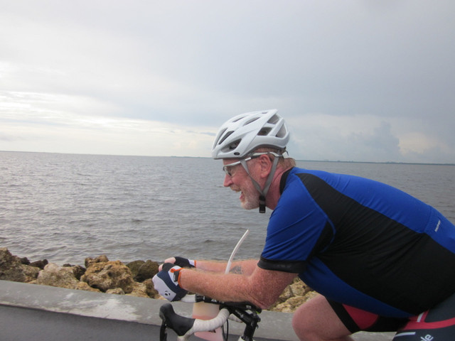
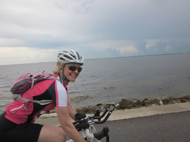
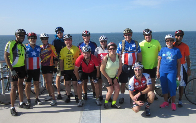
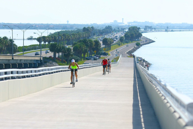
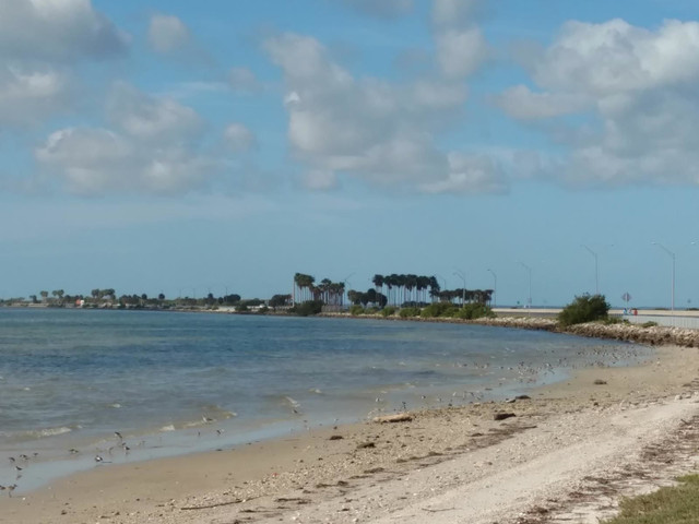
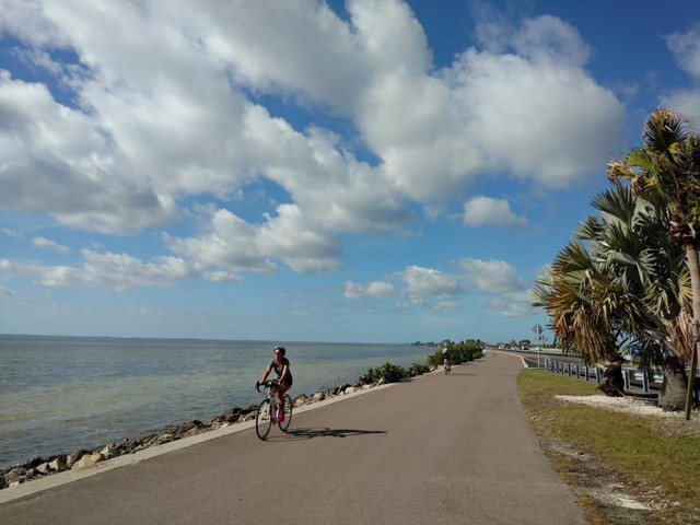
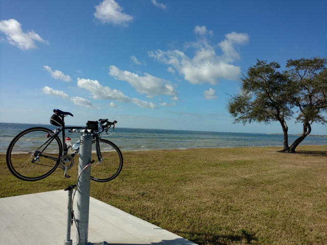
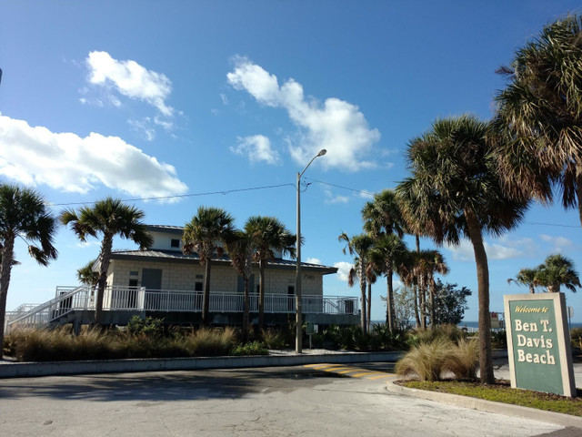
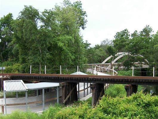
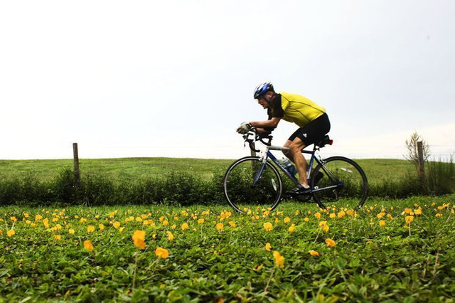
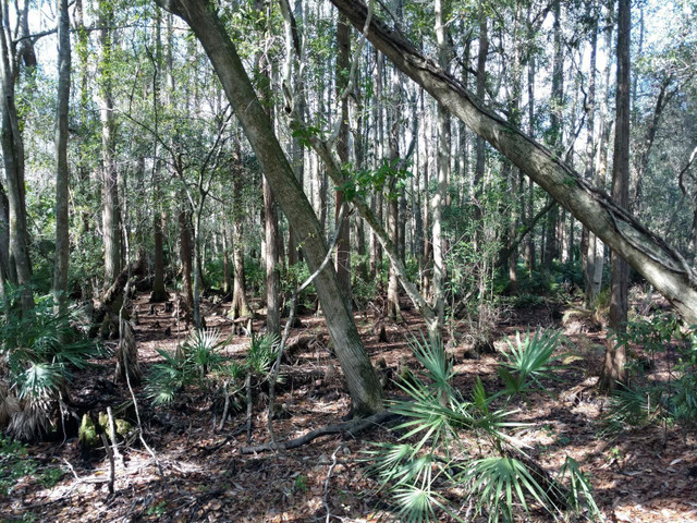
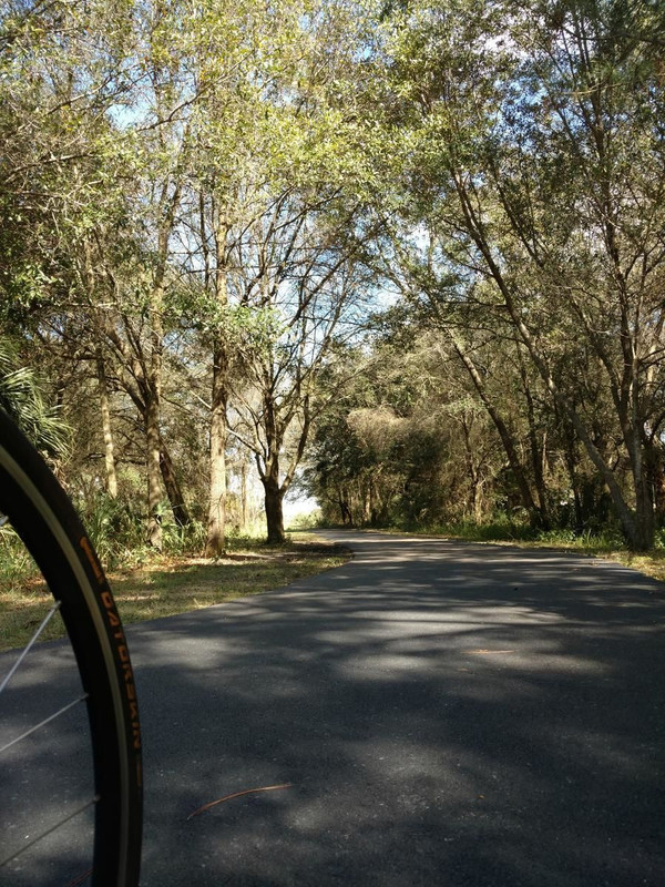
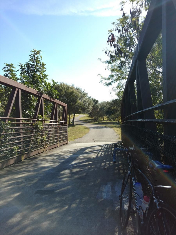
This route combines two of Tampa's most popular Trails, the Upper Tampa Bay Trail and the new Courtney Campbell Causeway Trail! With various places to park and start riding, you can choose riding distances from 8 miles up to 47 miles.
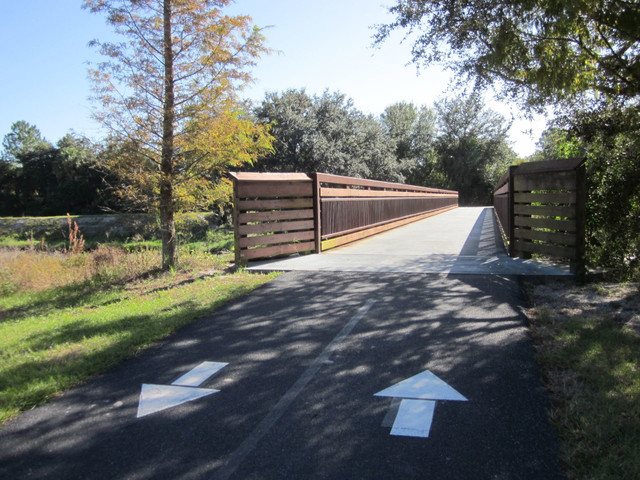
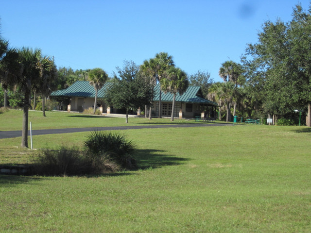
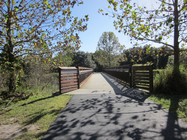
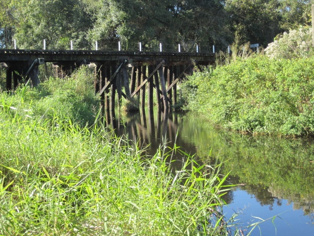
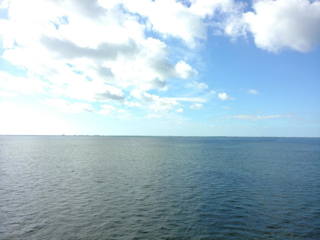
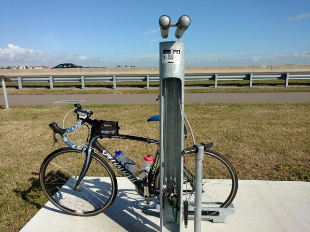
The majority of this route is on nicely paved, multi-use trails and in neighborhoods, with easy access to parking, water and scenic vistas.
Route Details
Other routes by Craig Hickson – Team C2C
Causeway Trail across Tampa Bay
Craig Hickson – Team C2C
Tampa area bicycling routes and rides
Upper Tampa Bay Trail loop
Craig Hickson – Team C2C
Tampa area bicycling routes and rides
Get Inspired, Not Lost. © 2026 Ride with GPS.
Terms of Service
Privacy Policy