Great Rift Dirt Tour (Craters of the Moon) |

|


Route Overview
Adventure cycling & mixed terrain riding in the Greater Yellowstone Ecosystem and beyond.
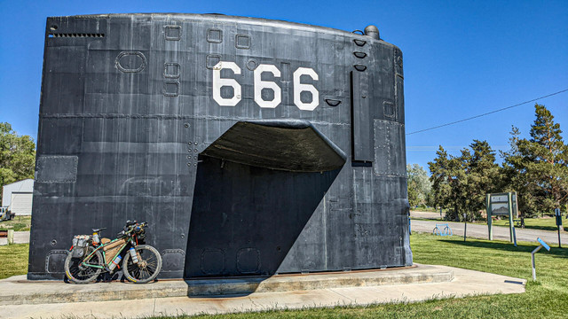
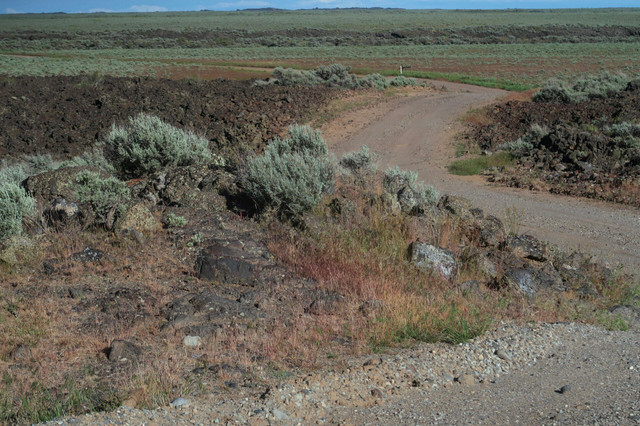
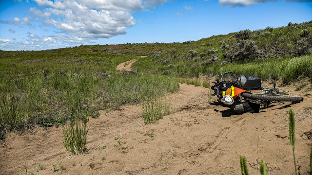
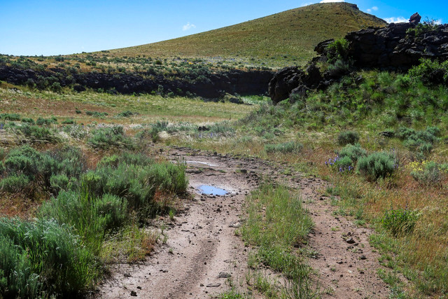
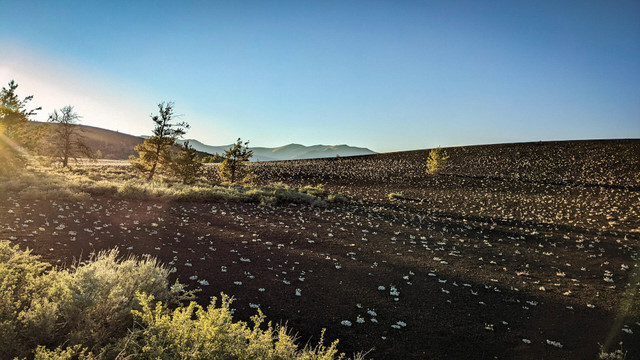
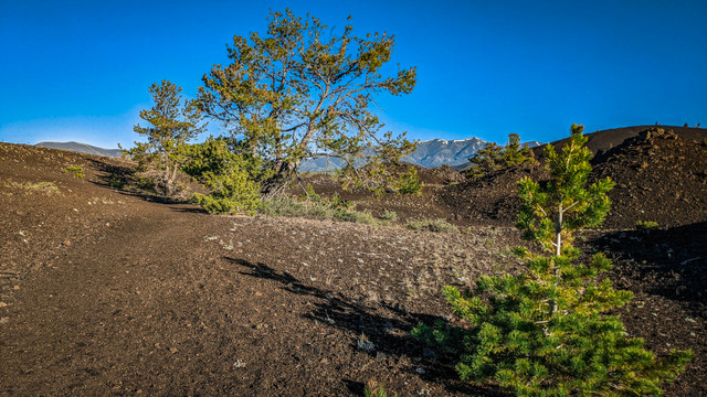
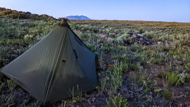
The Great Rift Dirt Tour is an Idaho bikepacking route connecting rugged doubletrack trails and remote backcountry roads throughout the Craters of the Moon National Monument & Preserve.
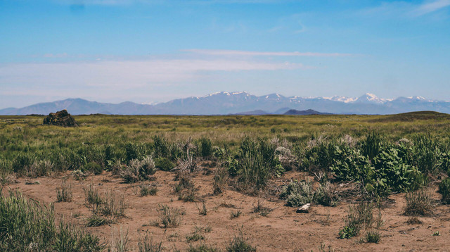
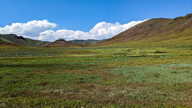
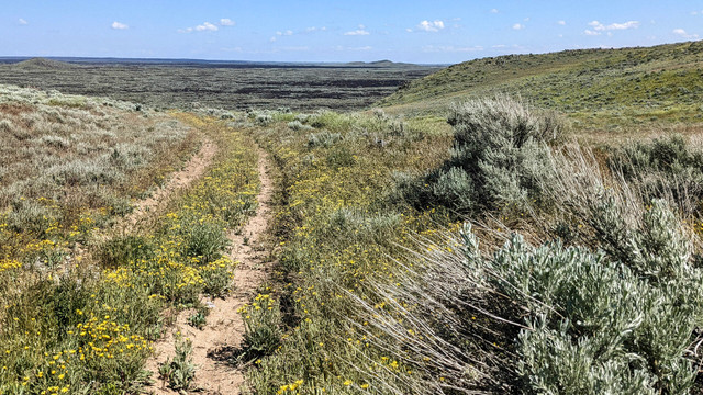
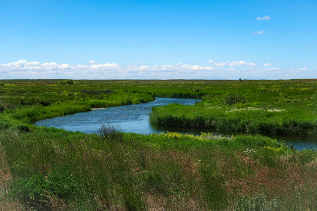
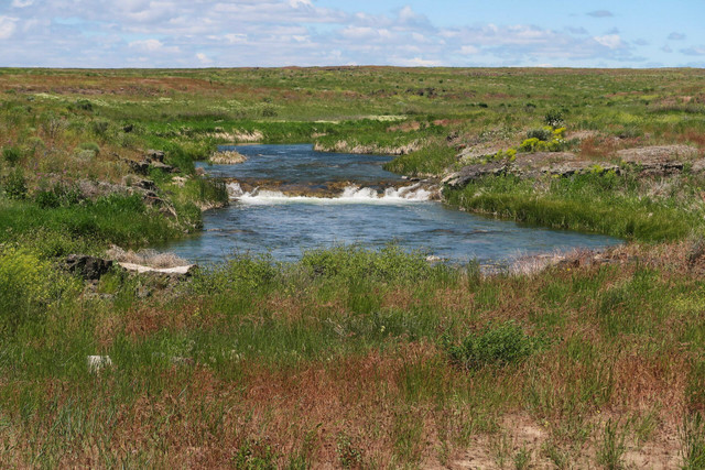
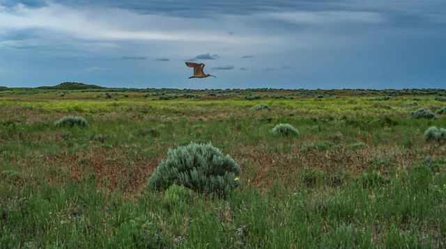
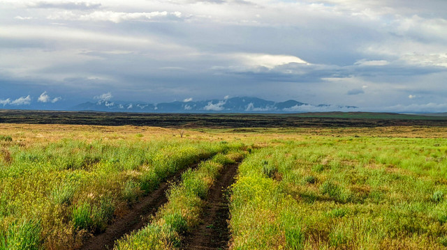
Prepare to be immersed in the vast Idaho High Desert of the Snake River Plain as you skirt expansive lava flows, meander along the foothills of the Pioneer Mountains, and travel through the Sagebrush Steppe on the Columbia Plateau.
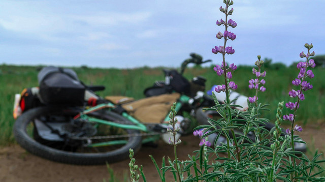
This route is best suited for those with advanced self-guided navigation skills. This route is best enjoyed on a mountain bike (2.2" or greater tire width).
Land of the Shoshone, Bannock, Northern Paiute, Cayuse, Walla Walla, and Umatilla Peoples. While many or most people rarely resided in this harsh region year-round, it has always been a migration path for people gravitating towards the mountains to the north for sustenance, water, and living during the warmer months.
Support: Help sustain route development & updates through a contribution or sticker purchase: https://ko-fi.com/s/f385863077
Event: 2025 Rally on the Rift and Grand Depart: June 9th - 15th
Registration: https://forms.gle/SpA2pH36U2imsmYq9
Route Updates & Happenings: https://instagram.com/GreatRiftDirtTour
Community & Discussion: https://www.facebook.com/groups/greatriftdirttour
SURFACE DETAILS
* It's possible for unpaved surfaces indicated here to significantly change and become impassable when wet*
86% Unpaved, 14% paved
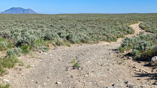
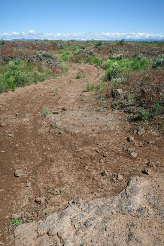
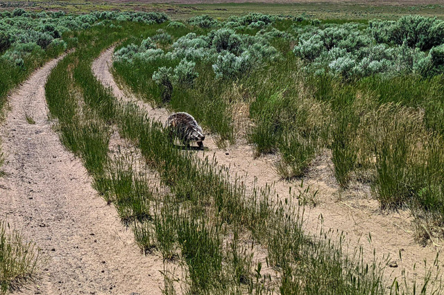
BLUE = Doubletrack/4x4 – 49%, 144 mi (Rides like singletrack for two! Narrow, Rocky, Rutted, Eroded, Sometimes Faint,)
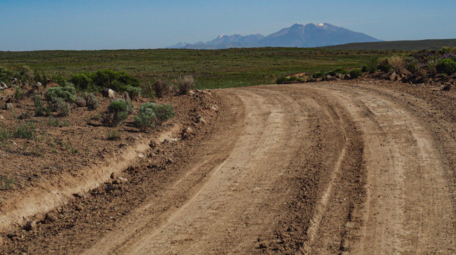
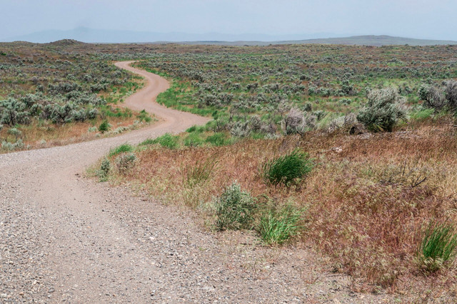
RED = Rough Dirt/Gravel – 24% 65.5 mi (4WD, Wide, Rugged, Loose, Less Maintained)
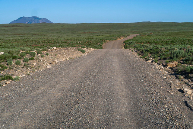
PURPLE = Improved Gravel – 13.5%, 36 mi (2WD, Frequently maintained, Wide, Graded, Sometimes deep gravel)
GREEN = Bike Path – 0.5%, 1 mi (Non-motorized, Paved)
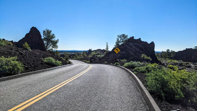
BLACK = Pavement – 14%, 39 mi (Smooth, Maintained, Rural Backroads and Highways)
Route variations, alternates & connectors: https://ridewithgps.com/collections/2344960
Please contact aaron@destinationreroute.com with route questions or updates.
Route Details
Other routes by Destination Reroute
Wydaho One Hundred Official
Adventure cycling & mixed terrain riding in the Greater Yellowstone Ecosystem and beyond.
North Valley AgriRamble
Adventure cycling & mixed terrain riding in the Greater Yellowstone Ecosystem and beyond.