Eastern Oregon Extravaganza Loop |

|
Aperçu de l'itinéraire
Be Happy, Be Healthy, Make a Difference.
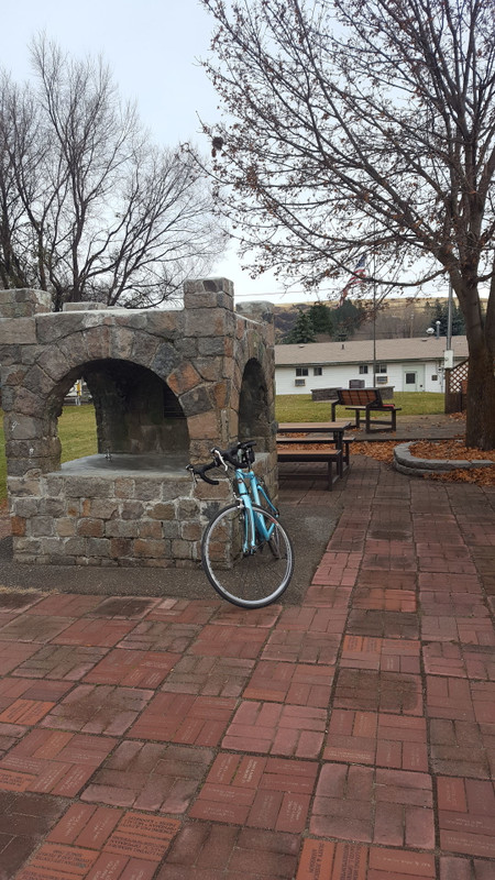
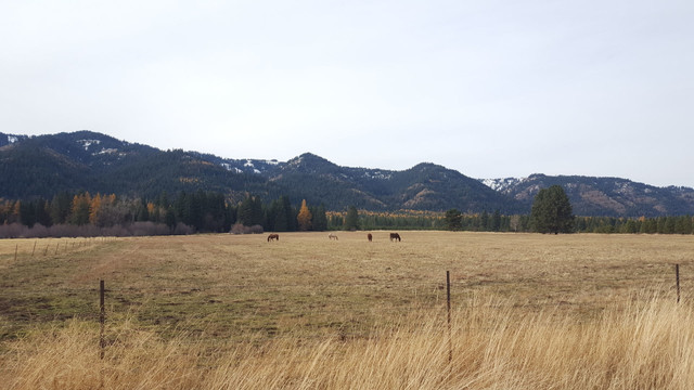
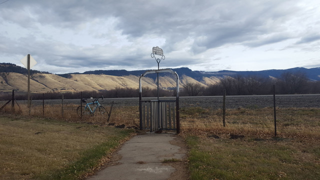
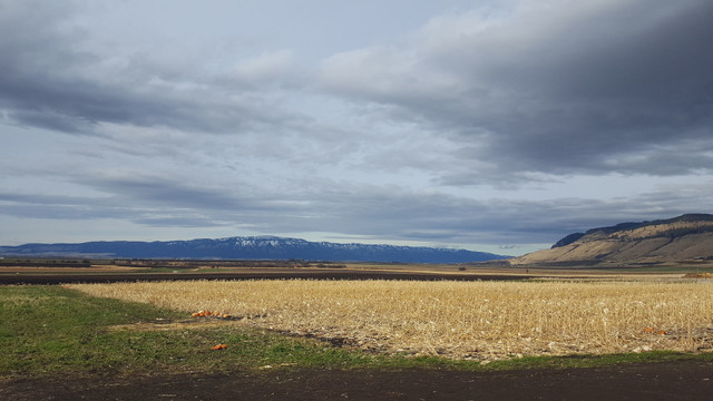
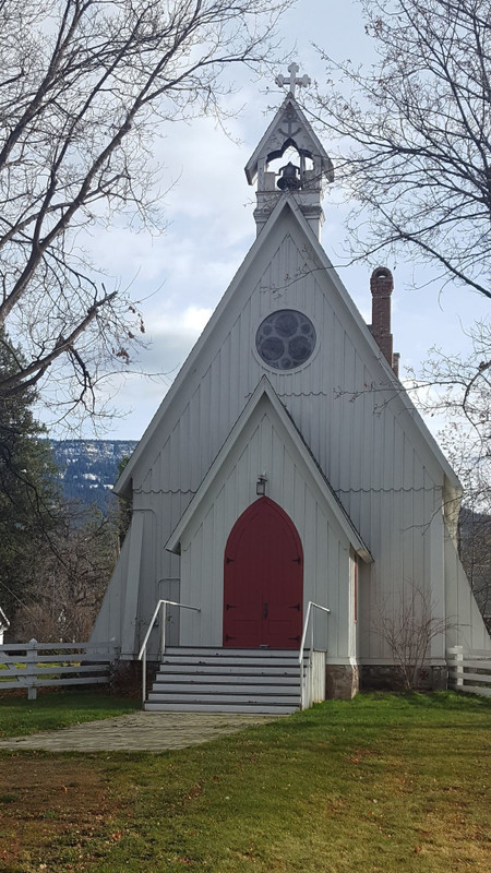
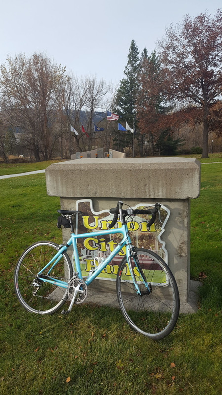
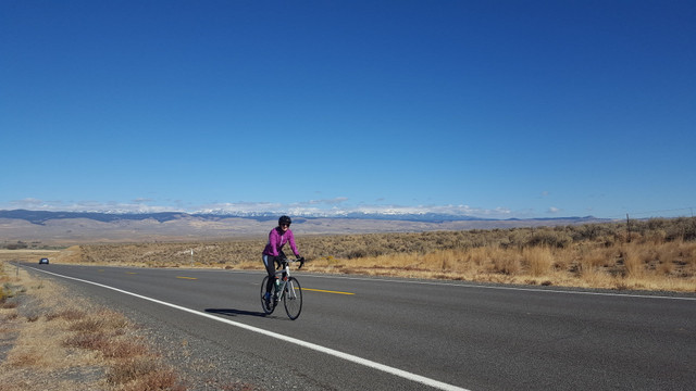
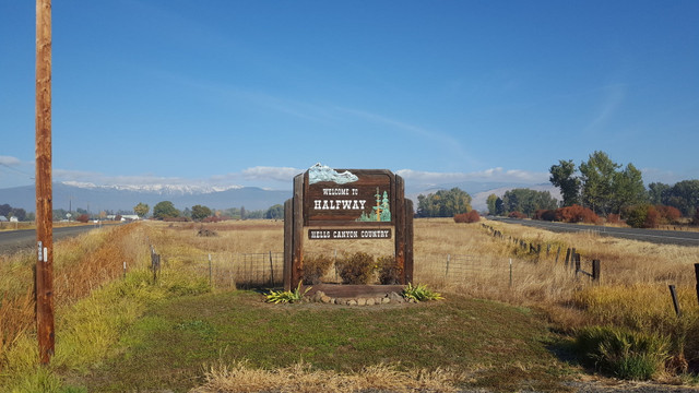
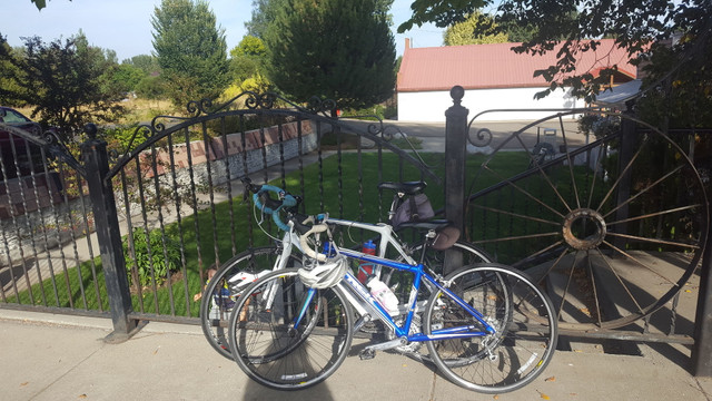
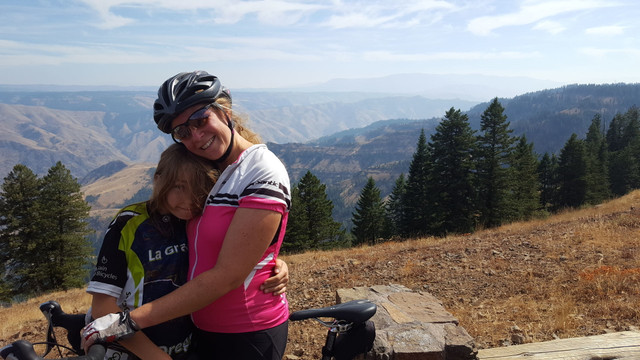
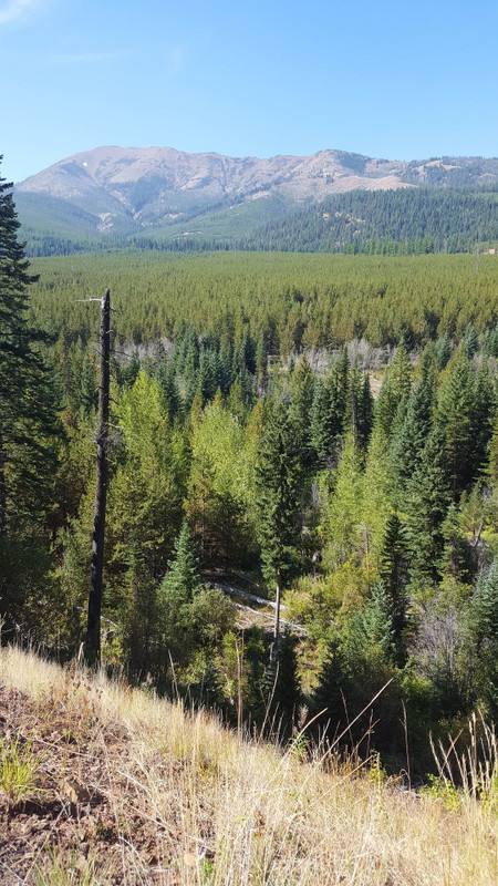
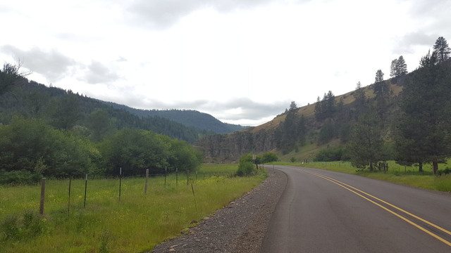
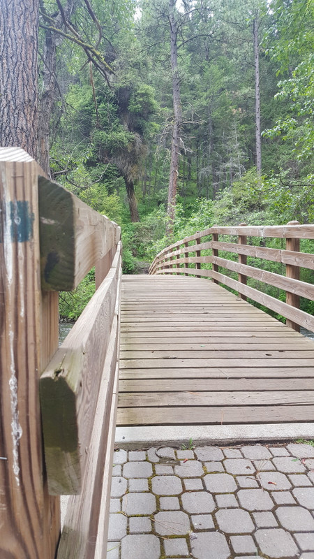
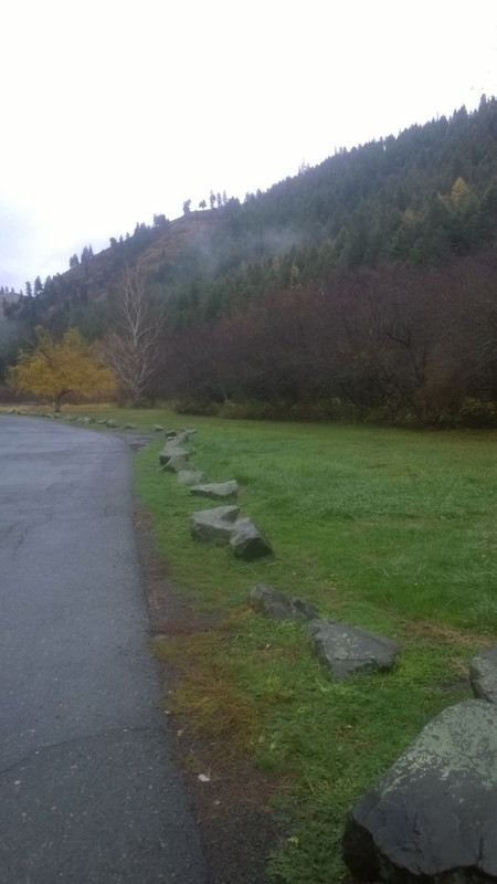
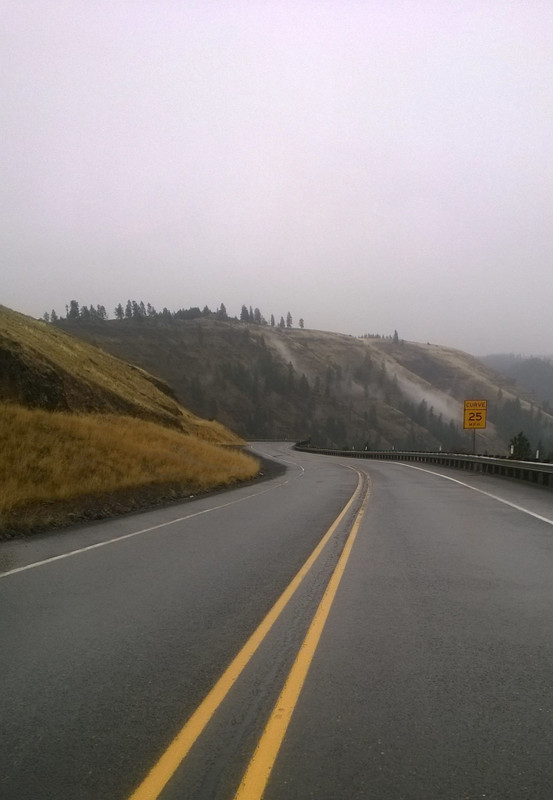
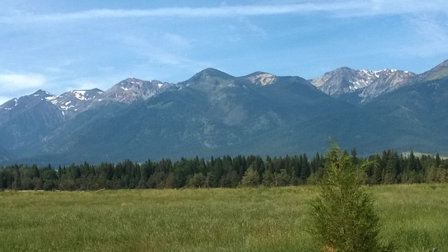
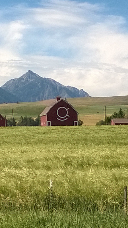
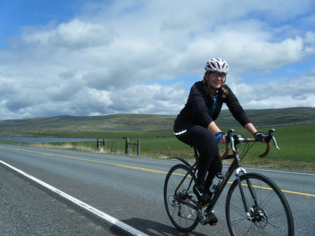
A wondrous 5 day extravaganza of beautiful scenery and isolated roads in Eastern Oregon. The main highlight is the forested, seasonal, All American Road NFS 39. Each day faces 42 to 77-miles of travel, delightful elevation gain and loss and places to camp or nestle into a welcoming hotel.
Détails de l'itinéraire
Autres itinéraires de Mountain Works Bicycles LLC
Ladd Marsh Loop
Be Happy, Be Healthy, Make a Difference.
The southwest side of the Grand Ronde Valley is home to marsh, sloughs, geothermic activities and... more
The southwest side of the Grand Ronde Valley is home to marsh, sloughs, geothermic activities and all sorts of natural wonders. The gravel roads that dissect the area allow for great bird watching and vistas of the mountains that nestle the valley in a fowl fraught 28-mile loop. (less)
The southwest side of the Grand Ronde Valley is home to marsh, sloughs, geothermic activities and all sorts of natural wonders. The gravel roads that dissect the area allow for great bird watching and vista...more
The southwest side of the Grand Ronde Valley is home to marsh, sloughs, geothermic activities and all sorts of natural wonders. The gravel roads that dissect the area allow for great bird watching and vistas of the mountains that nestle the valley in a fowl fraught 28-mile loop. (less)
MERA- Red Apple/MERA Loop
Be Happy, Be Healthy, Make a Difference.
MERA and APPLE LOOP encompasses a little over nine-miles of smooth rolling fun. It gains and lo... more
MERA and APPLE LOOP encompasses a little over nine-miles of smooth rolling fun. It gains and loses elevation in delightful bursts crossing Conley Creek and hiding under the canopy of a coniferous forest. (less)
MERA and APPLE LOOP encompasses a little over nine-miles of smooth rolling fun. It gains and loses elevation in delightful bursts crossing Conley Creek and hiding under the canopy of a coniferous forest.
MERA and APPLE LOOP encompasses a little over nine-miles of smooth rolling fun. It gains and loses elevation in delightful bursts crossing Conley Creek and hiding under the canopy of a coniferous forest. (less)
Grande Ronde Valley Loop - Phys Point
Be Happy, Be Healthy, Make a Difference.
Dust off your bicycle and enjoy this 35-mile road bike circle of splendor across the Grande Ronde... more
Dust off your bicycle and enjoy this 35-mile road bike circle of splendor across the Grande Ronde Valley. Enjoy sloughs planted in wheat, mint and other crops as they frame the rising basalt massifs of Mount Harris, Fanny and Point Prominence. (less)
Dust off your bicycle and enjoy this 35-mile road bike circle of splendor across the Grande Ronde Valley. Enjoy sloughs planted in wheat, mint and other crops as they frame the rising basalt massifs of Mou...more
Dust off your bicycle and enjoy this 35-mile road bike circle of splendor across the Grande Ronde Valley. Enjoy sloughs planted in wheat, mint and other crops as they frame the rising basalt massifs of Mount Harris, Fanny and Point Prominence. (less)
Ring around Pumpkin Ridge
Be Happy, Be Healthy, Make a Difference.
Enjoy Indian Valley and the north part of Grande Ronde Valley on a low traffic, paved, bicycle ad... more
Enjoy Indian Valley and the north part of Grande Ronde Valley on a low traffic, paved, bicycle adventure. This ring around Pumpkin Ridge hosts three main spurts of elevation gain, but is predominantly downhill for its 24+ miles. The brief mileage dedicated to the state highways sport wide shoulders for cycling safety and comfort. (less)
Enjoy Indian Valley and the north part of Grande Ronde Valley on a low traffic, paved, bicycle adventure. This ring around Pumpkin Ridge hosts three main spurts of elevation gain, but is predominantly downhi...more
Enjoy Indian Valley and the north part of Grande Ronde Valley on a low traffic, paved, bicycle adventure. This ring around Pumpkin Ridge hosts three main spurts of elevation gain, but is predominantly downhill for its 24+ miles. The brief mileage dedicated to the state highways sport wide shoulders for cycling safety and comfort. (less)
MERA-Red Apple Loop
Be Happy, Be Healthy, Make a Difference.
Beginner fairly flat loop beautiful in the summer and winter. Winter skis or snowshoes are recommended.
Beginner fairly flat loop beautiful in the summer and winter. Winter skis or snowshoes are recommended. (less)
Sinks
Be Happy, Be Healthy, Make a Difference.
The descent of this trail is insane flowing fun. The vanilla like smell of the large Ponderosa P... more
The descent of this trail is insane flowing fun. The vanilla like smell of the large Ponderosa Pines whip around you as you zoom down the trail. The old growth logs loom shoulder height. The descent is fluid with minimal breaking and a smooth rolling surface. Big Sinks is pure fun and beauty. (less)
The descent of this trail is insane flowing fun. The vanilla like smell of the large Ponderosa Pines whip around you as you zoom down the trail. The old growth logs loom shoulder height. The descent is fl...more
The descent of this trail is insane flowing fun. The vanilla like smell of the large Ponderosa Pines whip around you as you zoom down the trail. The old growth logs loom shoulder height. The descent is fluid with minimal breaking and a smooth rolling surface. Big Sinks is pure fun and beauty. (less)
Spud Tours - Baker Valley
Be Happy, Be Healthy, Make a Difference.
Late winter and early spring are perfect times to get out, enjoy the flowers, babies and vistas o... more
Late winter and early spring are perfect times to get out, enjoy the flowers, babies and vistas of the rural farming and ranching communities. Bucolic communities such as Haines, Oregon contain few paved roads but a multitude of stupendous gravel adventures weathered to perfection over the winter months. This 24.6-mile gradual, mostly gravel, loop nestles against the picturesque Elkhorn Mountains. (less)
Late winter and early spring are perfect times to get out, enjoy the flowers, babies and vistas of the rural farming and ranching communities. Bucolic communities such as Haines, Oregon contain few paved ro...more
Late winter and early spring are perfect times to get out, enjoy the flowers, babies and vistas of the rural farming and ranching communities. Bucolic communities such as Haines, Oregon contain few paved roads but a multitude of stupendous gravel adventures weathered to perfection over the winter months. This 24.6-mile gradual, mostly gravel, loop nestles against the picturesque Elkhorn Mountains. (less)
Baker/Unity/Phillips Multi-Day Loop
Be Happy, Be Healthy, Make a Difference.
Isolated northeast Oregon hosts acres of National Forest land crossed with pavement perfect for c... more
Isolated northeast Oregon hosts acres of National Forest land crossed with pavement perfect for cycling adventures. A wonderful three-day, self-sustained, pavement adventure starting in Baker City travels by cattle, timber, ghost towns and mine tailings. (less)
Isolated northeast Oregon hosts acres of National Forest land crossed with pavement perfect for cycling adventures. A wonderful three-day, self-sustained, pavement adventure starting in Baker City travels b...more
Isolated northeast Oregon hosts acres of National Forest land crossed with pavement perfect for cycling adventures. A wonderful three-day, self-sustained, pavement adventure starting in Baker City travels by cattle, timber, ghost towns and mine tailings. (less)
Two Dragon
Be Happy, Be Healthy, Make a Difference.
The Two Dragon Loop, named after an 1870’s Chinese mining camp in the Carson Historic Mining dist... more
The Two Dragon Loop, named after an 1870’s Chinese mining camp in the Carson Historic Mining district, is just short of six miles of high mountain foliage extravaganza. It contains a delightful two mile single track descent and a mix of old logging roads.
(less)
The Two Dragon Loop, named after an 1870’s Chinese mining camp in the Carson Historic Mining district, is just short of six miles of high mountain foliage extravaganza. It contains a delightful two mile sin...more
The Two Dragon Loop, named after an 1870’s Chinese mining camp in the Carson Historic Mining district, is just short of six miles of high mountain foliage extravaganza. It contains a delightful two mile single track descent and a mix of old logging roads.
(less)
Cathrine Creek
Be Happy, Be Healthy, Make a Difference.
Short little jaunt leaving Union up to Cathrine Creek State Park. Take a lunch and enjoy the scenery. For those wanting a bit more punch climb up to Catherine Creek Summit.
Short little jaunt leaving Union up to Cathrine Creek State Park. Take a lunch and enjoy the scenery. For those wanting a bit more punch climb up to Catherine Creek Summit. (less)
MERA - Slammer/Caffeine
Be Happy, Be Healthy, Make a Difference.
This route on MERA uses Slammer, Depends and Ride On, to eventually tee into a crowning jewel tra... more
This route on MERA uses Slammer, Depends and Ride On, to eventually tee into a crowning jewel trail, Caffeine. This combination of trails makes a marvelous 10.9-mile figure-eight that gains 1309 feet of elevation before swooping back to the trailhead. (less)
This route on MERA uses Slammer, Depends and Ride On, to eventually tee into a crowning jewel trail, Caffeine. This combination of trails makes a marvelous 10.9-mile figure-eight that gains 1309 feet of ele...more
This route on MERA uses Slammer, Depends and Ride On, to eventually tee into a crowning jewel trail, Caffeine. This combination of trails makes a marvelous 10.9-mile figure-eight that gains 1309 feet of elevation before swooping back to the trailhead. (less)
High Valley
Be Happy, Be Healthy, Make a Difference.
One of the more magnificent mixed surface rides in the Grande Ronde Valley area. It loops from Cove through Union and back along the breath-taking High Valley Road.
One of the more magnificent mixed surface rides in the Grande Ronde Valley area. It loops from Cove through Union and back along the breath-taking High Valley Road. (less)
MERA- Sasquatch/Ricochet Loop
Be Happy, Be Healthy, Make a Difference.
Wonderful mountain bike route encompasses almost ten miles of riding, much of which is in the rem... more
Wonderful mountain bike route encompasses almost ten miles of riding, much of which is in the remote north section of MERA. This collection of trails is fun because 1514 feet of elevation gain and loss is broken up into three snippets of climbing with different yet agreeable rewards. (less)
Wonderful mountain bike route encompasses almost ten miles of riding, much of which is in the remote north section of MERA. This collection of trails is fun because 1514 feet of elevation gain and loss is b...more
Wonderful mountain bike route encompasses almost ten miles of riding, much of which is in the remote north section of MERA. This collection of trails is fun because 1514 feet of elevation gain and loss is broken up into three snippets of climbing with different yet agreeable rewards. (less)
Haines/Rock Creek Cemetery Ramble
Be Happy, Be Healthy, Make a Difference.
This loop explores a variety of pioneer cemeteries and settlements in Eastern Oregon. This deligh... more
This loop explores a variety of pioneer cemeteries and settlements in Eastern Oregon. This delightful assortment of isolated pavement is filled with pastoral scenes and granite fence posts. (less)
This loop explores a variety of pioneer cemeteries and settlements in Eastern Oregon. This delightful assortment of isolated pavement is filled with pastoral scenes and granite fence posts.
This loop explores a variety of pioneer cemeteries and settlements in Eastern Oregon. This delightful assortment of isolated pavement is filled with pastoral scenes and granite fence posts. (less)
Indian creek - Easy
Be Happy, Be Healthy, Make a Difference.
As the snow melts, the rivers rise and the bulbs pop, it is the perfect time to experience gravel... more
As the snow melts, the rivers rise and the bulbs pop, it is the perfect time to experience gravel riding. Early spring, when pavement roads retain their winter gravel and mountain bike trails are a bit too mushy, is optimum for cycling dirt roads. This is a nice rural gravel loop with additional hill options for those feeling feisty. (less)
As the snow melts, the rivers rise and the bulbs pop, it is the perfect time to experience gravel riding. Early spring, when pavement roads retain their winter gravel and mountain bike trails are a bit too ...more
As the snow melts, the rivers rise and the bulbs pop, it is the perfect time to experience gravel riding. Early spring, when pavement roads retain their winter gravel and mountain bike trails are a bit too mushy, is optimum for cycling dirt roads. This is a nice rural gravel loop with additional hill options for those feeling feisty. (less)
Lostine/ Wallowa Barn Loop
Be Happy, Be Healthy, Make a Difference.
Late spring and fall are stupendous times to beat the dust and explore Wallowa County on variable... more
Late spring and fall are stupendous times to beat the dust and explore Wallowa County on variable surfaces. Many of the more picturesque draws and rolling hills contain wandering isolated access roads sporting a patchwork of paved, compacted dirt and gravel surfaces. This is one such wonderful barn littered 17-mile loop. (less)
Late spring and fall are stupendous times to beat the dust and explore Wallowa County on variable surfaces. Many of the more picturesque draws and rolling hills contain wandering isolated access roads sport...more
Late spring and fall are stupendous times to beat the dust and explore Wallowa County on variable surfaces. Many of the more picturesque draws and rolling hills contain wandering isolated access roads sporting a patchwork of paved, compacted dirt and gravel surfaces. This is one such wonderful barn littered 17-mile loop. (less)
Rieth to Echo
Be Happy, Be Healthy, Make a Difference.
The canyons, rolling Palouse and winding waterways in addition to the Indigenous and Oregon Trail... more
The canyons, rolling Palouse and winding waterways in addition to the Indigenous and Oregon Trail histories, make the area around Pendleton, Oregon worth exploring. A picturesque 44-mile out and back pedal on Rieth Road, along the Umatilla River, is one such cultural and scenic gem. The route starts in Pendleton and then pauses in the historically rich town of Echo. (less)
The canyons, rolling Palouse and winding waterways in addition to the Indigenous and Oregon Trail histories, make the area around Pendleton, Oregon worth exploring. A picturesque 44-mile out and back pedal ...more
The canyons, rolling Palouse and winding waterways in addition to the Indigenous and Oregon Trail histories, make the area around Pendleton, Oregon worth exploring. A picturesque 44-mile out and back pedal on Rieth Road, along the Umatilla River, is one such cultural and scenic gem. The route starts in Pendleton and then pauses in the historically rich town of Echo. (less)
Farley Hills Circuit
Be Happy, Be Healthy, Make a Difference.
This marvelous, mixed surface 52-mile circuit will call to your inner gorilla with possible headw... more
This marvelous, mixed surface 52-mile circuit will call to your inner gorilla with possible headwinds, significant elevation gain and open desolate spaces that will make you want to linger and catch your breath. When looking at the map, the red line represents gravel surface and the blue, pavement (less)
This marvelous, mixed surface 52-mile circuit will call to your inner gorilla with possible headwinds, significant elevation gain and open desolate spaces that will make you want to linger and catch your bre...more
This marvelous, mixed surface 52-mile circuit will call to your inner gorilla with possible headwinds, significant elevation gain and open desolate spaces that will make you want to linger and catch your breath. When looking at the map, the red line represents gravel surface and the blue, pavement (less)
Umatilla Rim Trail to Lake Creek
Be Happy, Be Healthy, Make a Difference.
Umatilla Rim is fun for beginners and advanced riders alike due to its short stints of challenge,... more
Umatilla Rim is fun for beginners and advanced riders alike due to its short stints of challenge, varied terrain and multiple decommissioned road exit options. Riders prize the lush old growth with its wonderful offering of huckleberries in late summer and the beautiful meadows full of wildflowers. Above all the sheer magnitude of the North Fork Umatilla Wilderness and the view off the rim down to the Umatilla River will make the rider's heart beat fast. (less)
Umatilla Rim is fun for beginners and advanced riders alike due to its short stints of challenge, varied terrain and multiple decommissioned road exit options. Riders prize the lush old growth with its wond...more
Umatilla Rim is fun for beginners and advanced riders alike due to its short stints of challenge, varied terrain and multiple decommissioned road exit options. Riders prize the lush old growth with its wonderful offering of huckleberries in late summer and the beautiful meadows full of wildflowers. Above all the sheer magnitude of the North Fork Umatilla Wilderness and the view off the rim down to the Umatilla River will make the rider's heart beat fast. (less)
Crow Creek
Be Happy, Be Healthy, Make a Difference.
Fanning out from the base of the Wallowa Mountains between Joseph and Enterprise, Oregon are the ... more
Fanning out from the base of the Wallowa Mountains between Joseph and Enterprise, Oregon are the lovely Tenderfoot Valley and Alder Slope. The low traffic flow and delightfully aged pavement make possible a smooth memorable tour with breath taking views of snow caped peeks, hay fields, barns and everyday rural living. (less)
Fanning out from the base of the Wallowa Mountains between Joseph and Enterprise, Oregon are the lovely Tenderfoot Valley and Alder Slope. The low traffic flow and delightfully aged pavement make possible a...more
Fanning out from the base of the Wallowa Mountains between Joseph and Enterprise, Oregon are the lovely Tenderfoot Valley and Alder Slope. The low traffic flow and delightfully aged pavement make possible a smooth memorable tour with breath taking views of snow caped peeks, hay fields, barns and everyday rural living. (less)
Nice Wolf Raptor Route
Be Happy, Be Healthy, Make a Difference.
The Raptor Ride is approximately 23 miles of cycling over variable surfaces. The road surface co... more
The Raptor Ride is approximately 23 miles of cycling over variable surfaces. The road surface consists of old pavement and compacted dirt with light gravel and is one of the most beautiful raptor filled figure eight loops in Eastern Oregon (less)
The Raptor Ride is approximately 23 miles of cycling over variable surfaces. The road surface consists of old pavement and compacted dirt with light gravel and is one of the most beautiful raptor filled fig...more
The Raptor Ride is approximately 23 miles of cycling over variable surfaces. The road surface consists of old pavement and compacted dirt with light gravel and is one of the most beautiful raptor filled figure eight loops in Eastern Oregon (less)
Durkee to Bridgeport
Be Happy, Be Healthy, Make a Difference.
A marvelous 43-mile mixed gravel and pavement ride to the ghost town of Bridgeport from the old D... more
A marvelous 43-mile mixed gravel and pavement ride to the ghost town of Bridgeport from the old Durkee, Oregon stage stop. It travels down the Burnt River Canyon with its rocky dry bluffs and burbling river and is perfect for an early spring escapade. (less)
A marvelous 43-mile mixed gravel and pavement ride to the ghost town of Bridgeport from the old Durkee, Oregon stage stop. It travels down the Burnt River Canyon with its rocky dry bluffs and burbling river...more
A marvelous 43-mile mixed gravel and pavement ride to the ghost town of Bridgeport from the old Durkee, Oregon stage stop. It travels down the Burnt River Canyon with its rocky dry bluffs and burbling river and is perfect for an early spring escapade. (less)
C0-La Grande/Tollgate/Pd/Anthony Loop
Be Happy, Be Healthy, Make a Difference.
Seven-day camping and road cycling adventure begins and ends in La Grande, Oregon. Each day cove... more
Seven-day camping and road cycling adventure begins and ends in La Grande, Oregon. Each day covers between 16 and 58 miles for a grand total of 292 miles of splendid locomotion. The segments conclude at seasonal campgrounds suitable for tent camping and cover a wide range of isolated pavement. You will forge through differing forest and grassland ecosystems filled with interesting history. (less)
Seven-day camping and road cycling adventure begins and ends in La Grande, Oregon. Each day covers between 16 and 58 miles for a grand total of 292 miles of splendid locomotion. The segments conclude at se...more
Seven-day camping and road cycling adventure begins and ends in La Grande, Oregon. Each day covers between 16 and 58 miles for a grand total of 292 miles of splendid locomotion. The segments conclude at seasonal campgrounds suitable for tent camping and cover a wide range of isolated pavement. You will forge through differing forest and grassland ecosystems filled with interesting history. (less)
Cricket Flats
Be Happy, Be Healthy, Make a Difference.
(less)

